Disclosure : This site contains affiliate links to products. We may receive a commission for purchases made through these links.
Ruta 40 de Dios
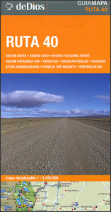
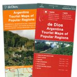
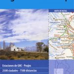
Ruta 40, Argentina’s longest road running from the Bolivian border along the Andes to Cabo Virgenes (Cape Virgins) on the Atlantic side of the Magellan Straights presented by the Buenos Aires based de Dios on a tourist map highlighting 100 places of interest, each one cross-referenced to a brief description in Spanish.The route is presented on two overlapping panels; the map extends eastwards from the Andes to provide coverage of a large section of Argentina including the whole of Patagonia. Road network clearly shows road numbers of main regional routes and includes selected local roads. Locations of petrol stations are marked. Topography is indicated by colouring for national parks and other protected areas. 100 places of interest are prominently highlighted, both directly on Ruta 40 and within reach of the highway; 44 sites in the section north of or around Mendoza, plus 56 further south, mainly around San Martin de los Andes, Bariloche and the Los Glaciares National Park. Colour-coding of their markers indicates interesting towns, charming villages, touring circuits, natural sites, ski centres, and archaeological sites. Map legend and the descriptions, may accompanied by colour photos, are in Spanish only.


