Disclosure : This site contains affiliate links to products. We may receive a commission for purchases made through these links.
Russia: Topographic Maps of Elbrus and Western Caucasus
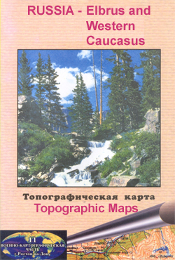
Mount Elbrus and the Russian part of the western Caucasus Mountains in a series of detailed topographic survey maps from one of the Russian Army Cartographic Units, with all place names in the Cyrillic alphabet. All the maps are contoured, with peak heights and colouring/graphics for rocky outcrops, snow covered or exposed ice fields, glaciers, forested areas, etc. The maps show local roads, cart tracks and footpaths, as well as other information usually found on topographic survey maps at this scale: settlements and individual buildings, bridges, electricity transmission lines, etc. Most titles have geographical coordinates, as indicated in the individual descriptions. All place names are in the Cyrillic alphabet. Some titles also include additional street plans and/or other information for climbers: a table showing the chill factor for various combinations of temperature and wind speed, international codes for conveying information to mountain rescue services, and drawings with advice on basic first aid. Map legend and all the text are in Russian only.IMPORTANT – PLEASE NOTE: deliveries from Russia are highly irregular and we are unable to guarantee delivery dates for maps or atlases which are not currently in stock.


