Disclosure : This site contains affiliate links to products. We may receive a commission for purchases made through these links.
Rome TCI Pocket Plan
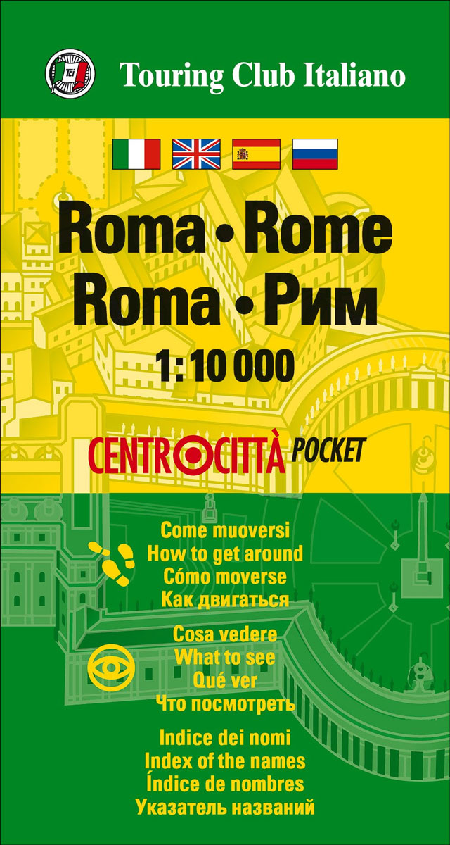
Central Rome street plan on light, waterproof and tear-resistant pocket map with Touring Club Italiano’s excellent, clear cartography; indexed, with a diagram of the metro and rail network, information about main sights, useful addresses, etc.The plan, printed on light, waterproof and tear resistant plastic paper, has clear, elegant cartography. Coverage includes all the city’s main sights, extending roughly from the Vatican to beyond the Termini station and from Piazza del Popolo to the city walls outside the Terme di Caracalla, with an inset extending the plan further south to include the basilica of S. Paolo Fuori le Mura. Metro stations are clearly marked. Main traffic arteries are highlighted, but one way street are not indicated. Public buildings, including museums, churches, etc. are named. Street index is on the reverse.The plan is accompanied by a diagram of the metro and rail network annotated with parking facilities, a small map of the city’s environs, plus lists of main sights with opening hours, etc., and contact details of other useful institutions. Map legend and all information are in Italian and English.


