Disclosure : This site contains affiliate links to products. We may receive a commission for purchases made through these links.
Rome
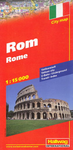
Street plan of Rome from Hallwag with an enlargement for the city centre, a detailed plan of the Vatican, a road map of the environs including access to the cityโ€s two airports, Castel Gandolfo and Lido di Ostia, plus a metro/railways diagram.The main plan covers the city centre and the surrounding districts, extending west beyond the Vatican, south to include the E.U.R. area, east well beyond the Roma Termini station and the inner motorway ring, and north beyond the Tiber to the Olympic stadium and inner ring road. Metro stations are clearly marked and the plan also shows one way streets, car parks and the central traffic zone.The city centre from the Vatican to the Coliseum is shown in greater detail on an enlargement at 1:10,000. Street index has lists of useful addresses of tourist information centres, lost property offices, railway stations, etc. Map legend includes English.Also included is a detailed plan of the Vatican City with a list of 18 of its most famous museums, chapels and buildings. A diagram shows the network of the cityโ€s metro, tram and suburban railway lines. A road map of the environs extends well beyond the GRA outer motorway ring and includes access to the Leonardo da Vinci and Ciampino airports, Castel Gandolfo and Lido di Ostia.* The same plan, with slightly less wide coverage of the city but with additional tourist features in all available in a handy City Flash format.

Related Products:
 Palma de Mallorca City Map / Mallorca Road Map
 Rome TCI Pocket Atlas
 Rome Borch
 Rome NGS City Destinations Map
 Moscow Jana Seta Street Plan
 Rome Global Map Street Plan
 Rome Michelin Citymap
 Rome TCI Pocket Plan
 Rome & Southern Italy ITMB
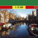
 Amsterdam Michelin Citymap
 Boston Borch
 Bucharest
 Moscow ITMB
 Oslo / Bergen & South of Norway ITMB
 Stockholm & Southern Sweden ITMB
 Brussels Hike & Bike Map
 Bilbao / Bilbo
 Greater Brussels Hike & Bike Map
 Cape Town Marco Polo City Map
 Warsaw Marco Polo City Map
 Halle Forest Hike & Bike Map
 Amsterdam F&B
 St Petersburg Marco Polo City Map
 Lisbon Borch
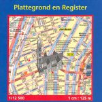 Amsterdam Michelin City Map
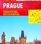
 Prague F&B
 Prague Marco Polo City Map
 Kaunas Jana Seta Street Plan WATERPROOF
 Maribor
 Barcelona Michelin Citymap
 Manila ITMB
 Madrid Essential Telstar Map
 Rio de Janeiro Marco Polo City Map
 Vienna Borch
 Rome TCI Street Plan
 Salzburg F&B Tourist Street Plan
 Dublin Borch
 Barcelona & Catalonia ITMB
 Kharkov Kartografija Street Plan