Disclosure : This site contains affiliate links to products. We may receive a commission for purchases made through these links.
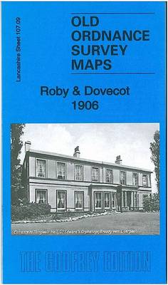
Roby & Dovecot 1906 – 107.09

Related Products:
 Haverfordwest 1906 – 27.08
 Garforth 1906 – 219.06
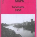 Tadcaster 1906 – 190.09
 Skegness 1906 – 84.11
 NE Lincolnshire 1906 – 90
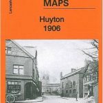 Huyton 1906 – 107.10
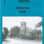 Golborne 1906 – 102.09
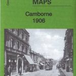 Camborne 1906 – 63.09
 Thatto Heath 1906 – 107.08
 Milford Haven 1906 – 33.14
 Aberford & Parlington 1906 – 204.15
 Nottingham & District 1906 – 126
 North Nottinghamshire 1906 – 101
 South Holland 1906 – 144
 The White Peak 1906 – 111
 The High Peak 1906 – 99
 Rutland & Stamford 1906 – 157
 NW Norfolk 1897-1906 – 130
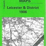 Leicester & District 1906 – 156
 Central Northants 1906 – 185
 Peterborough & District 1906 – 158
 South Kesteven 1906 – 143
 Truro (North) 1906 – 57.12
 Truro (South) 1906 – 57.16
 Childwall & Court Hey 1906 – 107.13
 Boston Spa & Thorp Arch 1906 – 189.07
 Lindsey (Brigg & District) 1906 – 89
 Newton-le-Willows (South) 1906 – 108.04
 New Farnley 1906: Yorkshire Sheet 217.12
 Bradford (West) 1906: Yorkshire Sheet 216.07
 Saxilby – Market Rasen & District 1906 – 102
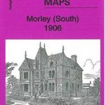 Morley (South) 1906: Yorkshire Sheet 232.08
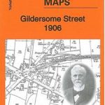 Gildersome Street 1906: Yorkshire Sheet 232.03
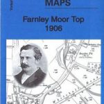 Farnley Moor Top 1906: Yorkshire Sheet 217.11
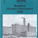 Bradford (Girlington & Manningham) 1906: Yorkshire Sheet 216.03
 Shipley Glen & Baildon Green 1906: Yorkshire Sheet 201.07
 Peebles 1906 – 13.06
 Aintree 1906
Bodmin 1906
Aintree 1906
Bodmin 1906
 St Ives 1906