Disclosure : This site contains affiliate links to products. We may receive a commission for purchases made through these links.
Rob Roy Way
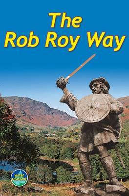
The Rob Roy Way, a 124km/77 miles trail from Drymen near Glasgow to Pitlochry in the Scottish Highlands, presented by Rucksack Readers in handy A5 size, spiral-bound, waterproof guide with mapping at 1:110,000. The guide provides general advice on when to go, availability of accommodation, etc, and includes notes on the region’s history, railway heritage, habitats and wildlife, etc. Detailed route descriptions, arranged in daily stages, are preceded by a summary of each section of the route giving distance, terrain, grade, side trips, and availability of food and drink. The guide is illustrated with numerous colour photos.The guide shows the route highlighted on fold-out flap of the cover at 1:110,000. The map has altitude colouring to show the topography and also indicates various facilities and places of interest. No geographical coordinates for GPS users are provided. The publishers recommend as more detailed and GPS compatible coverage maps of the route from Harvey Map Services or Footprint, or the Explorer Series from the Ordnance Survey (4 maps).To see other titles in this series please click on the series link.

Related Products:
 Settle to Carlisle Way
 Mary Queen of Scots Way: Arrochar to St Andrews
 South Downs Way
 St Cuthbert`s Way
 Cleveland Way
 Dales Way Rucksack Readers
 Kerry Way
 Indian Himalaya Trekking Guide
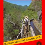
 Sierra Nevada Mountain Guidebook
 GR 11: La Senda
 GR 240: Tour of the Sierra Nevada (Sendero Sulayr)
 Cape York Hema Atlas & Guide A4 SPIRAL-BOUND
 Madeira Rother Guide
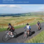 Ultimate C2C Guide: Sea to Sea by Bike
 Reivers Way
 Sardinia South-West: The Mining Coast Hiking Trail Guide
 Great Britain & Ireland: Rucksack Readers` Guides to Long-distance Footpaths
 A Dales High Way: Route Guide
 Everest – Trekking Map & Complete Guide
 DK Eyewitness Travel Guide Costa Rica
 Annapurna Trekking Guide
 A Motor-Car Trip through Ukraine
 Le Chemin du Vรฉzelay: de la Bourgogne aux Pyrรฉnรฉees
 Les Chemins de St-Jacques au Pays Basque
 Alps Eastern E5
 France: Rando Ed. Guides to the Way of St James to Compostela
 Hungarian National Long-distance Blue Trail (E7): Irott-ko to Szekszard
 Kruger National Park Map Studio Visitor`s Guide & Atlas
 Welsh Canoe Classics: A Canoeist and Kayaker`s Guide
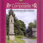
 Camino Catalan – The Tranquil Route towards Santiago de Compostela
 GTA Grande Traversata delle Alpi – long-distance Route across the Italian Alps Rother Guide
 DK Eyewitness Travel Guide Prague
 Le Luberon ร Velo (248km)
 Irish Canoe Classics
 Le Chemin de la Plata
 The Grahams & the Donalds: Scottish Mountaineering Club Hillwalkers` Guide
 Walk! Dartmoor
Dingle Way Rucksack Readers
Walk! Dartmoor
Dingle Way Rucksack Readers
 Corsica Walking
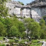
 Silverdale and Arnside Walks