Disclosure : This site contains affiliate links to products. We may receive a commission for purchases made through these links.
River Thames – Mouse Mat
Related Products:
 River Thames and the Thames Path Heron Maps
 River Thames & Thames Path Heron Map
 I Never Knew That About The River Thames
 Thames: Sacred River
 All Along the River: Tales from the Thames
 River Thames Book
 Imray Chart C2: The River Thames
 Eyots and Aits: Islands of the River Thames
 Map of the River Thames: From the Source to Hammersmith Bridge
 The English River: a journey down the Thames in poems & photographs
 From Source to Sea: Notes from a 215-Mile Walk Along the River Thames
 Admiralty Chart 1185 – River Thames, Sea Reach
 Thames Path:National Trail from London to the river`s source in Gloucestershire
 Admiralty Chart 1186 – River Thames – Canvey Island to Tilbury
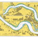 Admiralty Chart 2151 – River Thames – Tilbury to Margaret Ness
 Admiralty Chart 3337 – River Thames Margaret Ness to Tower Bridge
 The Thames England`s River
 Thames Path: Thames Head to the Thames Barrier (London)
 Admiralty Chart Folio 8 – River Thames and Medway and Approaches
 Town Mouse, Country Mouse
 Kennet & Avon Canal and River Thames Pearson`s Canal Companion
 River Thames & the Southern Waterways Collins Nicholson Waterways Guide 7
 Walking the Grand Union Canal from London to Birmingham: 153 Mile Walk from the River Thames at Bentford to Gas Street Basin, Birmingham. Can be Done in 9 Stages
 Admiralty Chart SC5602_3 – River Fal Saint Just Pool to Truro River – Continuations of Truro River, Tresillian River and Carnon River
 The King John Challenge Walk – 24 Miles: 24 Mile Circular Challenge Walks Around Great Windsor Park, Windsor and River Thames from Virginia
 My Dog Mouse
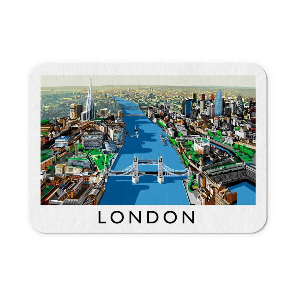
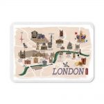 London – Mouse Mat
 The Mouse Who Ate the Moon
 The Umbrella Mouse
 City Mouse
 The Church Mouse
 Admiralty Chart SC5615_17 – River Forth Grangemouth Roads – River Forth, Grangemouth and River Carron – River Forth River Carron
 The Wolf, the Duck and the Mouse
 The Mouse Who Wasn`t Scared
 Mouse Tales – Tutankhamouse
 Mouse Tales – Sir Squeakalot
 NOAA Chart 16662 – Cook Inlet’”Kalgin Island to North Foreland – Drift River – Kasilof River to Kenai River – Nikiski
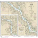 NOAA Chart 12377 – Connecticut River’”Deep River to Bodkin Rock
 Black Dragon River: A Journey Down the Amur River at the Borderlands of Empires
 CHS Chart 6438 – Peel River, Mackenzie River to Road Island


