Disclosure : This site contains affiliate links to products. We may receive a commission for purchases made through these links.
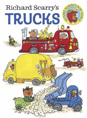
Richard Scarry`s Trucks

Related Products:
 Paul Smith for Richard Scarry`s Cars and Trucks and Things That Go
 Richard Scarry`s Cars
 Richard Scarry`s Boats
 Richard Scarry`s Planes
 Richard Scarry`s What Do People Do All Day?
 Richard Scarry`s Busy, Busy World
 Brick Cars & Trucks
 Picture Fit: A Traffic Jam of Trucks
 Thomas & Friends: Troublesome Trucks
 Build Your Own Trucks Sticker Book
 Little First Stickers Tractors and Trucks
 Around the World in 80 Food Trucks
 Mad Richard
 Horn Please: The Graphic Trucks of India
 Build Your Own Monster Trucks Sticker Book
Queyras Didier Richard Pocket Map
Build Your Own Monster Trucks Sticker Book
Queyras Didier Richard Pocket Map
 Food Trucks, Cultural Identity, and Social Justice: From Loncheras to Lobsta Love
 Together: a Richard and Judy Book Club summer read 2018
 The Party: The thrilling Richard & Judy Book Club Pick 2018
 The Child: The must-read Richard and Judy Book Club pick 2018
 Vercors Didier Richard
 Richard III and the Murder in the Tower
 Richard Jefferies: A Miscellany
 Richard III: The Road to Leicester
 Richard III and the Princes in the Tower
 France: Didier Richard Hiking Maps of South Eastern France and Corsica
Queyras – Ubaye Didier Richard
France: Didier Richard Hiking Maps of South Eastern France and Corsica
Queyras – Ubaye Didier Richard
 Corsica North Didier Richard 08
 Corsica South Didier Richard 09
 Monts d`Ardรจche Didier Richard
 Maures – Esterel Didier Richard 15
 The King`s Grave: The Search for Richard III
St. St. Richard of Chichester Pilgrimage Walk: Arundel to Chichester
The King`s Grave: The Search for Richard III
St. St. Richard of Chichester Pilgrimage Walk: Arundel to Chichester
 Mercantour & Alpi-Marittime Didier Richard 07
 Mont-Blanc – Annecy Didier Richard 02
Ardeche Southern Didier Richard Pocket Map
Mont-Blanc – Annecy Didier Richard 02
Ardeche Southern Didier Richard Pocket Map
 The Thirty-One Kings: Richard Hannay Returns
 Vanoise National Park – Beaufortain Didier Richard 04
 Mont Blanc Pocket Map Edition Didier Richard
 You Me Everything: A Richard & Judy Book Club selection 2018