Disclosure : This site contains affiliate links to products. We may receive a commission for purchases made through these links.
Ribble Estuary 1901 – 75
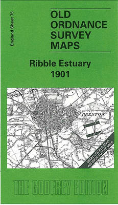
Related Products:
 Ribble Valley and Bowland: Short Scenic Walks
 Walking in Lancashire: 40 walks throughout the county including the Forest of Bowland and Ribble Valley
 Fal Estuary & Camborne 1890 – 352
 Carmarthen & the Towy Estuary 1909 – 229
 Event Ticket – Estuary to Tide
 Braunton Burrows – Taw Estuary Walking Map 09 – Saunton to Yelland
 Rotherham 1901 – 289.11b
 Wentworth 1901 – 283.13
 Broseley 1901 – 51.02
 Hinckley 1901 – 42.08
 Soham 1901 – 30.16
 Gironde Estuary
 Estuary: Out from London to the Sea
 C1 Thames Estuary
 Ventnor & Isle of Wight 1901 – 344/345
 Y7 Thames Estuary South
 Crossing the Thames Estuary
 Barmouth & the Mawddach Estuary
 Walks Around Chester and the Dee Estuary
 Droitwich (North) 1901: Worcestershire Sheet 22.14
 Oder Estuary (Zalew Szczecinski)
 The Way to the Sea: The Forgotten Histories of the Thames Estuary
 The Mersey Estuary: A Travel Guide
 Instructional Chart 5041 – Thames Estuary
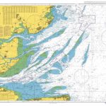 Admiralty Chart 1183 – Thames Estuary
 Thames Estuary, Rochester & Southend-on-Sea OS Landranger Map 178 (paper)
 NP249 Tidal Stream Atlas Thames Estuary
 UK5 Thames Estuary to Great Yarmouth – 2019/20 Edition
 P240 St. Lawrence Estuary – CHS Tidal Current Atlas
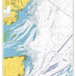 Admiralty Chart 1610 – Approaches to the Thames Estuary
 Thames Estuary, Rochester & Southend-on-Sea OS Landranger Active Map 178 (waterproof)
 South West Sea Kayaking: Isle of Wight to the Severn Estuary
 Admiralty Chart 1975 – Thames Estuary Northern Part
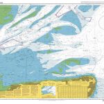 Admiralty Chart 1607 – Thames Estuary – Southern Part
 Blackwater Estuary: Maldon, Burnham-on-Crouch & Southend-on-Sea OS Explorer Map 176 (paper)
 Admiralty Chart 8157 – Thames Estuary Port Approach Guide
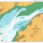 Admiralty Chart 1176 – Severn Estuary Steep Holm to Avonmouth
 Blackwater Estuary: Maldon, Burnham-on-Crouch & Southend-on-Sea OS Explorer Active Map 176 (waterproof)
 Exe Estuary Walking & Cycling Map 39 – Exeter to Dawlish Warren & Exmouth Including Topsham
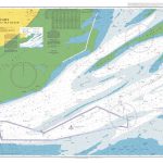 Admiralty Chart 1609 – Thames Estuary – Knock John Channel to Sea Reach


