Disclosure : This site contains affiliate links to products. We may receive a commission for purchases made through these links.
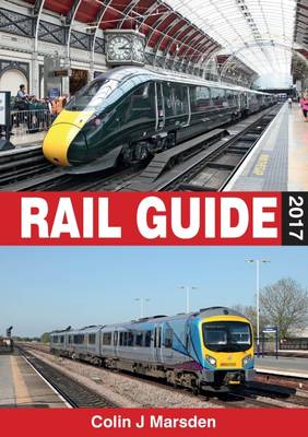
Rail Guide 2017

Related Products:
 UK Light Rail and Tram Museum Guide 2017
 European Rail Timetable Winter 2017-2018 Edition
 Japan by Rail: Includes Rail Route Guide and 30 City Guides
 Rail Guide 2019: Light Rail & Heritage Railway
 ABC Rail Guide 2015
 ABC Rail Guide 2016
 Rail Guide 2020
 abc Rail Guide: 2018
 Football Grounds Guide 2017-18
 Sydney Ferry, Bus & Rail Map & Guide
 Rail Guide 2019: Main Line Systems
 Europe By Rail: The Definitive Guide – 16th Edition
 Trans-Canada Rail Guide: from Halifax to Vancouver
 Rail Lines and Rivers Cycle Routes in the Eifel Bikeline Map-Guide
 Restaurant Guide 2017
 Hotel Guide 2017
 The Good Food Guide: 2017
 London Underground Guide 2017
 Not for Tourists Guide to Chicago: 2017
 Not for Tourists Guide to London: 2017
 Not for Tourists Guide to Los Angeles: 2017
 Not for Tourists Guide to Washington DC: 2017
 Not for Tourists Guide to San Francisco: 2017
 Camra`s Good Beer Guide: 2017
 Cruising Guide to the Virgin Islands 2017/18
 Not for Tourists Guide to New York City: 2017
 The North Coast 500 Guide Book: 2017
 RYA Handy Guide to the Racing Rules 2017-2020
 Guide on oil spill response in ice and snow conditions, 2017 edition
 Rail-Trails Florida: The Definitive Guide to the State`s Top Multiuse Trails
 Rail-Trails Mid-Atlantic: The Definitive Guide to Multiuse Trails in Delaware, Maryland, Virginia, Washington, D.C., and West Virginia
Rail-Trails
Rail Times
Rail-Trails Mid-Atlantic: The Definitive Guide to Multiuse Trails in Delaware, Maryland, Virginia, Washington, D.C., and West Virginia
Rail-Trails
Rail Times
 Rail Atlas: the Beeching Era
 Trailblazer Rail Guides
America by Rail Large 2022
Trailblazer Rail Guides
America by Rail Large 2022
 European Rail Timetable SEPTEMBER 2021
 European Rail Timetable Summer 2020
 European Rail Timetable Summer 2021
 Abbreviated Rail Times for Great Britain