Disclosure : This site contains affiliate links to products. We may receive a commission for purchases made through these links.
Categories
-
Best Sellers
-

Gairloch, Ullapool & Loch Maree OS Landranger Active Map 19 (waterproof)
Waterproof and tear-resistant OS Active version of map No. 19 from the Ordnance Survey’s Landranger series at 1:50,000, with contoured and GPS compatible topographic mapping plus Read More » -

Glenluce & Kirkcowan OS Explorer Map 310 (paper)
Glenluce and Kirkcowan area on a detailed topographic and GPS compatible map No. 310, paper version, from the Ordnance Survey’s 1:25,000 Explorer series. MOBILE DOWNLOADS: this Read More » -
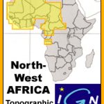
Oran IGN Map
One of the titles in a series of topographic maps covering much of north-west Africa, produced as part of the IMW* project in 1960’s. Each map Read More » -
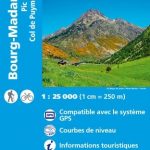
Bourg-Madame – Pic Carlit – Col de Puymorens IGN WATERPROOF 2249OTR
Topographic survey of France at 1:25,000 in IGN`s excellent TOP25 / Sรฉrie Bleue series. All the maps are GPS compatible, with a 1km UTM grid plus Read More » -

M9 South Sardegna
Imray’s series of charts of the Mediterranean are comprehensive and easy-to-use sailing charts published on rip-proof, waterproof paper- ideal for use on small tables or in Read More » -

NOAA Chart 11513 – St. Helena Sound to Savannah River
NOAA maintains the nautical charts and publications for U.S. coasts and the Great Lakes. Over a thousand charts cover 95,000 miles of shoreline and 3.4 million Read More » -

Northwest Achterhoek
Northwest Achterhoek on a waterproof, tear-resistant, GPS compatible walking map at 1:25,000 from Trage Paden, in a series of maps with extensive overprint for long-distance and Read More » -
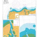
NZ7132 Approaches to Westport
Plan included:Westport Harbour – South 1:7,000Westport Harbour – North 1:7,000Nautical charts for New Zealand, created by Land Information New Zealand (LINZ), are printed on demand at Read More » -

Gergal CNIG Topo 1029-2
Topographic coverage of mainland Spain at 1:25,000 published by the Centro Nacional de Informaciรณn Geograficรก, the country’s civilian survey organization. The maps have contours at 10m Read More » -

Charlie and the Great Glass Elevator (colour edition)
Roald Dahl`s Charlie and the Great Glass Elevator in glorious full colour for the very first time!WHOOSH! Inside the Great Glass Elevator, Willy Wonka, Charlie Bucket Read More »
-


