Disclosure : This site contains affiliate links to products. We may receive a commission for purchases made through these links.
Prague Street Atlas
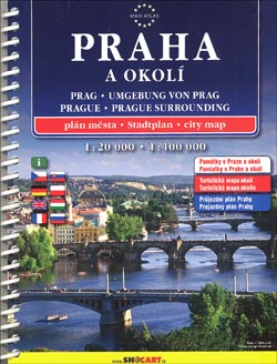
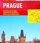
Prague at 1:20,000 and its environs at 1:100,000 in an A5 spiral-bound street atlas from Shocart, both with multilingual descriptions of places of interest, including detailed plans of the Prague castle complex and the Jewish monuments of Josefov.The main section of the atlas at 1:20,000 covers the city with its outer suburbs. Tram and bus routes are shown with stops and line numbers. Metro lines and stations are also marked but are less clear to see by anyone not familiar with the city. For drivers the mapping indicates principal traffic arteries, one way streets, traffic lights, entry restrictions, car parks and park & ride facilities, and locations of petrol stations. Various places of interest are highlighted and named. An enlargement shows the city centre in greater detail with locations of numerous hotels. The index is accompanied by additional sections providing brief descriptions of sights, lists of cultural institutions, advice on and lists of public transport connections, etc.The section showing the city’s environs at 1:100,000 highlights places of interest, shows campsites, petrol stations, etc. includes suggestions for day trips.Multilingual map legend and all the text include English.


