Disclosure : This site contains affiliate links to products. We may receive a commission for purchases made through these links.
Poznan ExpressMap Street Plan
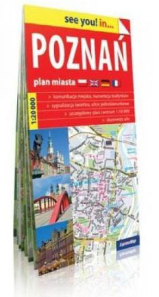
Poznan on an indexed, double-sided street plan at 1:20,000 from ExpressMap with enlargement showing the town centres in greater detail, a diagram of the city’s night bus and tram lines, plus a plan of the Poznan International Fair grounds. The index includes contact details for various institutions and facilities, among them hotels, campsites and youth hostels.ExpressMap street plans provide coverage of cities within their administrative boundary, spread across the two sides of the map. Bus and tram routes are shown with stops and line numbers. For drivers, main traffic arteries are highlighted, one way streets are marked and the plans also show traffic lights, petrol stations, car parks and restricted entry streets or zones. Streets are annotated with selected house numbers for easier identification of addresses. Names of suburbs and of larger housing estates are clearly marked. Symbols highlight various facilities and places of interest, including museums and other cultural institutions and historical sites, 24-hrs pharmacies, campsites and youth hostels, etc. Where more than one town is covered, each has a separate index. Map legend includes English.

Related Products:
 Lodz ExpressMap Street Plan
 Wroclaw ExpressMap Street Plan
 Czestochowa ExpressMap Street Plan
 Katowice ExpressMap Street Plan
 Lublin – Swidnik ExpressMap Street Plan
Warsaw – Lomianki – Zabki ExpressMap Street Plan
Kielce ExpressMap Street Plan
Lublin – Swidnik ExpressMap Street Plan
Warsaw – Lomianki – Zabki ExpressMap Street Plan
Kielce ExpressMap Street Plan
 Gdansk – Gdynia – Sopot (The Tricity) ExpressMap Street Plan
 Szczecin – Swinoujscie – Police ExpressMap Street Plan
 Krakรณw – Niepolomice – Skawina – Wieliczka ExpressMap Street Plan
 Poznan Environs ExpressMap Tourist Map
 Lviv ExpressMap Street Plan
 Sorrento Global Map Street Plan
 Amsterdam Falkplan Street Plan
 and Cycling Map
Amsterdam Falkplan Street Plan
Amsterdam Falkplan Street Plan and Cycling Map
 Arad – Timisoara Cartographia Street Plan
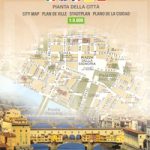 Florence Global Map Street Plan
 Milan Global Map Street Plan
 Rome Global Map Street Plan
 Leeds A-Z Street Plan Wall Map
 Cluj Napoca – Oradea Cartographia Street Plan
 Barcelona “Maps to Go” Street Plan
 Iasi Cartographia Street Plan
 Genoa Global Map Street Plan
 Modena Global Map Street Plan
 Siena Global Map Street Plan
 Plymouth A-Z Street Plan Wall Map
Ragusa Global Map Street Plan
Plymouth A-Z Street Plan Wall Map
Ragusa Global Map Street Plan
 Brasov – Targu Mures Cartographia Street Plan
 Bologna Global Map Street Plan
 Liverpool A-Z Street Plan Wall Map
 Mantua Global Map Street Plan
Modica Global Map Street Plan
Mantua Global Map Street Plan
Modica Global Map Street Plan
 Padua Global Map Street Plan
 Turin Global Map Street Plan
 Jurmala Jana Seta Street Plan
 Parma Global Map Street Plan
 Venice (with the Islands and the Lido) Global Map Street Plan
Como Global Map Street Plan
Venice (with the Islands and the Lido) Global Map Street Plan
Como Global Map Street Plan
 Sofia Domino Street Plan