Disclosure : This site contains affiliate links to products. We may receive a commission for purchases made through these links.
Portugal Hand Flag
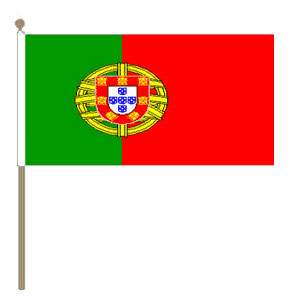
100% polyester, screen printed Portugal flag on a 30cm wooden pole with a white plastic ball cap.

Related Products:
 Ukraine Hand Flag
 Finland Hand Flag
 Romania Hand Flag
 Slovakia Hand Flag
 Turkey Hand Flag
 USA hand flag
 Catalan Hand Flag
 Switzerland Hand Flag
 Europe (EU) hand Flag
 Russia Hand Flag
 Poland Hand Flag
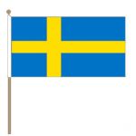 Sweden Hand Flag
 Netherlands Hand Flag
 Serbia hand flag
 St Andrews Hand Flag (6″x4″)
 Colombia Hand Flag (6″x4″)
 Jamaica Hand Flag (6″x4″)
 Denmark hand Flag
 Estonia Hand Flag
 Afghanistan Hand Flag
 Croatia hand Flag
 Albania Hand Flag
 Bulgaria Hand Flag
 Israel Hand Flag
 Japan Hand Flag
 India Hand Flag
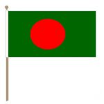 Bangladesh Hand Flag
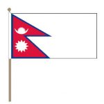 Nepal hand Flag
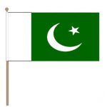 Pakistan Hand Flag
 Jordan Hand Flag
 Belgium Hand Flag
 Germany Hand Flag
 Iceland hand Flag
 Czech Hand Flag
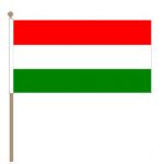 Hungary Hand Flag
 Brazil Hand Flag
 Argentina hand Flag
 Morocco Hand Flag
 Ethiopia Hand Flag
 Guatemala Hand Flag