Disclosure : This site contains affiliate links to products. We may receive a commission for purchases made through these links.
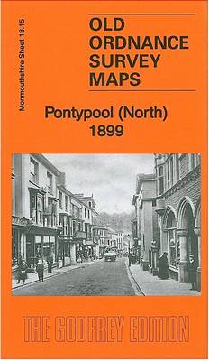
Pontypool (North) 1899 – 18.15

Related Products:
 Abertillery (North) 1899 – 17.08
 Dumfries North 1899
 Stockton (North) 1899 – 50.12a
 Tredegar North 1899
 Ebbw Vale North 1899
 Okehampton & North Dartmoor 1899-1900 – 191
 Newport & Pontypool OS Explorer Map 152 (paper)
 Newport & Pontypool OS Explorer Active Map 152 (waterproof)
 Cardiff, Newport & Pontypool OS Landranger Map 171 (paper)
 Cardiff, Newport & Pontypool OS Landranger Active Map 171 (waterproof)
 Birkenhead 1899 – 13.03a
 Westbury 1899 – 44.08
 Crieff 1899 – 95.11
 West Bridgford 1899 – 42.10
 Towcester & District 1899 – 202
 Abertillery (South) 1899 – 17.12
 Coventry – Nuneaton & District 1899 – 169
 Old Aberdeen 1899
 Swindon (NW) 1899 – 15.03a
 Swindon (NE) 1899 – 15.04a
 Alloa 1899
 New Tredegar 1899
 Pontnewynydd 1899
 Dumfries South 1899
 Derby (South) 1899 – 50.13a
 Central Nottingham 1899 – 42.02b
 Nottingham (South) 1899 – 42.06b
 Aberdeen (Bridge of Don) 1899 – 75.03
 Nottingham (Sherwood) 1899 – 38.10
 Tredegar South 1899
 Llandudno (West) 1899 – 1.16
 Swindon South-East 1899
 Swindon South-West 1899
 Ipswich & The Naze 1898-1899
 SE Somerset 1899 – 312 Coloured Edition
 Nottingham (Arnold & Daybrook) 1899 – 38.06
 Ebbw Vale (South) 1899 – 11.14
 Torbay & South Dartmoor 1899-1900 – 202
 The Black Watch: Fighting in the Frontline 1899-2006
 SHOM Charts for the North East Atlantic, North Sea, Baltic Sea, Mediterranean Sea


