Disclosure : This site contains affiliate links to products. We may receive a commission for purchases made through these links.
Poland: Reise-Know-How Touring Maps with Historic Place Names
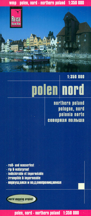
Poland on indexed, waterproof and tear-resistant touring maps from Reise-Know-How with historical names of main towns and other important locations which during the 19th and part of the 20th century were in Germany or in the Austro-Hungarian Empire. The maps are double-sided to provide the best balance between a good scale and a convenient size sheet.Road network is easy to see on a clear base which shows topography by altitude colouring with contours and spot heights, plus boundaries of national parks and other protected areas. Road network includes selected unsurfaced local roads and tracks, indicates locations of border crossings and shows driving distances on main and secondary roads. Railway lines are included and local airports are marked. Internal administrative boundaries are shown with names of the provinces. Symbols highlight various places of interest, including campsites, castles, churches, viewpoints, etc. The maps have latitude and longitude lines at intervals of 30โ€ and an index of place names. Map legend includes English.


