Disclosure : This site contains affiliate links to products. We may receive a commission for purchases made through these links.
Poland F&B Postcode Freytag & Berndt Wall Map
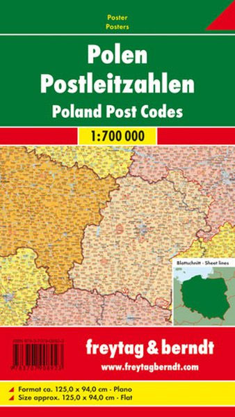
Postcode map of Poland from Freytag & Berndt showing postal zones in different colours, with subdivisions into regions, both with zonal or regional code numbers, plus all locations with their individual postcodes. The base map shows the country’s road and rail network and the boundaries of voivodships (wojewรณdztwa). The map has a latitude and longitude grid at intervals of 30’ and comes with a separate index booklet listing all locations with their postcodes. Multilingual map legend includes English.

Related Products:
 Italy Postcode Freytag & Berndt Wall Map
 Italy: Freytag & Berndt “Top 10 Tips” Road Maps
 Austria: Freytag & Berndt 150K “Top 10 Tips” Road Maps
 Austria: Freytag & Berndt 200K Road Maps
 Postcode Atlas of Britain and Northern Ireland
 Europe – Middle East – Central Asia Freytag & Berndt Wall Map
 Switzerland K+F Postcode Wall Map
 Poland 500K F&B
 Germany F&B
 Sweden: Freytag & Berndt Regional Road Maps
 Norway: Freytag & Berndt Regional Road Maps
 Europe Eastern F&B
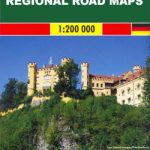 Germany: Freytag & Berndt 200K Regional Road Maps
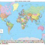 World: Freytag & Berndt Political Wall Maps
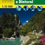 Merano and Surroundings Freytag & Berndt Map
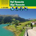 Val Venosta/Vinschgau Freytag & Berndt Map
 Germany Postcode Map
 Rรผgen Freytag & Berndt Map
 Poland 700K F&B
 Germany 700K F&B
 Austria Freytag & Berndt Panorama Wall Map
 Germany: Freytag & Berndt “Top 10 Tips” Road Maps
 Attersee – Mondsee – Wolfgangsee Freytag & Berndt Map
 Gesรคuse – Ennstaler Alpen – Schoberpass Freytag & Berndt Map
 Gleinalpe – Lippizanerheimat – Leoben – Voitsberg Freytag & Berndt Map
 Otscherland – Mariazell – Erlauftal – Lunzer See – Scheibbs Freytag & Berndt Map
 Saualpe – Lavanttal – Koralpe – Region Schlicherheimat Freytag & Berndt Map
 Austria: Freytag & Berndt Hiking Maps
 Bohemian Forest – Mรผhlviertel – Moldau/Vltava Reservoir Freytag & Berndt Map
 Thayatal National Park – Znaim – Retz – Gars am Karp Freytag & Berndt Map
 Grossglockner – Heiligenbult – Sonnblick – Shobergruppe – Oberes Mรถlltal Freytag & Berndt Map
 Leeds A-Z Street Plan Wall Map
 Germany: Freytag & Berndt Hiking and Leisure Maps
 Germany Administrative F&B Wall Map
 Northern Europe – Scandinavia F&B
 Belarus F&B
 Austro-Hungarian Empire 1890 Freytag & Berndt Wall Map
 North Macedonia F&B Top 10 Tips
 Kosovo F&B Top 10 Tips
 Rhodes F&B