Disclosure : This site contains affiliate links to products. We may receive a commission for purchases made through these links.
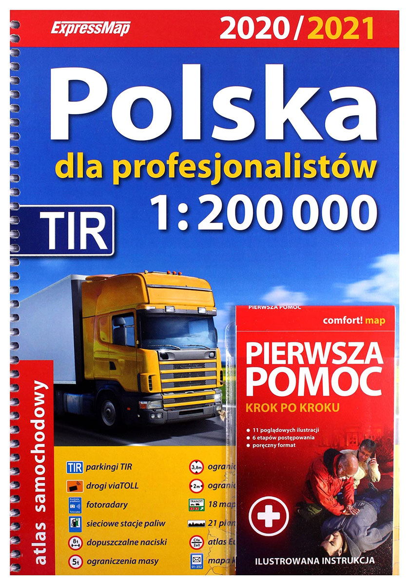
Poland ExpressMap Professional Users Road Atlas 2020/2021

Road atlas of Poland at 1:200,000 for professional road users from ExpressMap, 2015/2016 edition, indicating ‘viaTOLL’ roads and contact or distribution points, TIR parks, filling stations by brand, plus 18 transit maps for main urban conurbations, 21 street plans of main cities, mapping of whole Europe at 1:3,200,000 for route planning, etc. The main section of the atlas covers Poland at 1:200,000. Road classification, graded into 10 types, indicates roads with LBC up to 11.5, 10 and 8t/axle, as well as height, widths and weight limits, plus entry restrictions for lorries. Special colouring shows roads covered by the ‘viaTOLL’ system and its contact or distribution points. Filling stations indicate fuel brands sold there, and the atlas shows TIR parks, plus selected car parks and hotels/motels.For all road users, the mapping indicates topography and landscape by relief shading with colouring and/or graphics for woodlands, meadows and wetlands, plus boundaries of natural and regional parks. A wide rage of symbols mark various places of interest, with where appropriate seasonal opening dates. The maps have no geographical coordinates. Extensive index has a separate section with a postcode list. Map legend includes English.The atlas also includes: transit maps showing in greater detail at 1:80,000 access to18 main urban conurbations; street plans of 21 cities showing bus and tram routes with stops and lines numbers, petrol stations and other facilities/places of interest, etc; a route planning map; toll roads overview map; plus postcode and number plates registration maps.Mapping of Europe at 1:3,200,000 for route planning include the whole of Scandinavia, and extends east beyond Moscow, to Volgograd and to eastern coast of the Mediterranean.


