Disclosure : This site contains affiliate links to products. We may receive a commission for purchases made through these links.
Pohorje
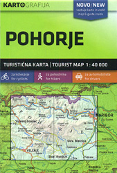
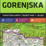
Pohorje in a series of double-sided maps at 1:40,000 from Kartografija in Ljubljana, accompanied by an 87-page bilingual Slovenian/English colour booklet with 60 pages of descriptions of the region’s numerous places of interest, plus brief descriptions of 29 recommended hiking trails and of 12 cycling routes, from 30km to 45km long and accompanied by route profiles.The maps in this series have contours at 20m intervals, enhanced by relief shading and graphics to provide a very effective picture of the topography. Waymarked hiking trails and cycling routes are prominently highlighted and cross-referenced to their descriptions in the accompanying guides. A wide range of symbols provide information on various types of accommodation (rural hotels, motels, farms, mountain huts, campsites), recreational facilities, picturesque locations, etc. For drivers, locations of petrol stations are marked. Each map is double-sided, with a good overlap between the sides, and has latitude and longitude lines at 2’ intervals.The accompanying pocket guides are bilingual, Slovenian/English, with around 60 to 80 pages. Approximately half are descriptions of places of interest, illustrated by colour photos. Descriptions of hiking routes give timings and the degree of difficulty, as do notes for cycling routes which are also accompanied by route profiles. Also provided is a list of mountain huts. Map legends and all the text include English.


