Disclosure : This site contains affiliate links to products. We may receive a commission for purchases made through these links.
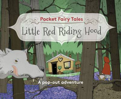
Pocket Fairytales: Little Red Riding Hood

Related Products:
 Little Red Riding Hood
 Peep Inside a Fairy Tale Little Red Riding Hood
 Red Riding Hood
 Red Riding Hood Pop-Up Book
 Ruth the Red Riding Hood Fairy
 You Can Tell a Fairy Tale: Little Red Riding Hood
 Pocket Fairytales: Cinderella
 Pocket Fairytales: Sleeping Beauty
Fairytales
Pocket Fairytales: Sleeping Beauty
Fairytales
 Fairytales for Mr Barker
 Little Sticker Dolly Dressing Fairytales Cinderella
 Gossip from the Forest: The Tangled Roots of Our Forests and Fairytales
 Robin Hood
 Surf Odyssey: The Culture of Wave Riding
 Hood Feminism: Notes from the Women White Feminists Forgot
 Vuelta Skelter: Riding the Remarkable 1941 Tour of Spain
 Little Red Hood
 Hood Rat
 Venice Pocket Precincts: A Pocket Guide to the City`s Best Cultural Hangouts, Shops, Bars and Eateries
 South Riding
 Little Red Reading Hood
 Riding The Ice Wind
 Riding With Ghosts
 Riding the Himalayas
 At the Edge: Riding for My Life
 Robin Hood Yard
 Riding the Iron Rooster
 The Adventures of Robin Hood
 Riding the Outlaw Trail
 Hood River OR Trail Map
 Mt. Hood Area Trail Map
 Yorkshire West Riding c1884
 1001 Bikes To Dream of Riding Before You Die
 The Boy Who Biked the World: Riding the Americas
 Le Bicycle Rain Poncho with Hood
Eastern Naryn Gostartografiya Horse Riding Map
Le Bicycle Rain Poncho with Hood
Eastern Naryn Gostartografiya Horse Riding Map
 Mount Hood Wilderness OR NGS Trails Illustrated Map 321
 Whitby & Esk Dale – Robin Hood’s Bay OS Landranger 94
 Still Sideways: Riding the Edge Again after Losing My Sight
 Emergency Bicycle Rain Poncho with Hood