Disclosure : This site contains affiliate links to products. We may receive a commission for purchases made through these links.
Pica d`Estats – Mont-roig Editorial Alpina
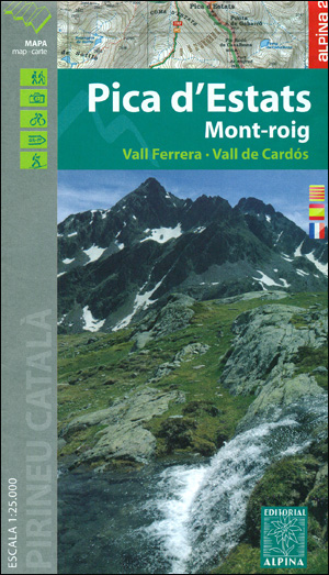
Pica d`Estats – Mont-roig area of the Catalan Pyrenees just west of Andorra on a contoured and GPS-compatible map at 1:25,000 from Editorial Alpina, highlighting local and long-distance hiking trails, tourist accommodation, etc. Coverage extends from the Andorran border westwards beyond the peak of Mont-roig and from the French border south to Alins, and includes the valleys of Ferrera and Cardรณs.Topography is shown by contours at 10m intervals with relief shading and spot heights, with additional colouring for woodlands, meadows, etc. Waymarked hiking paths are highlighted, as are longer routes: GR11, HPR (the high route), La Porta del Cel route, and special TRF cross-border trails. The map also shows recommended mountain bike routes and ski areas. Symbols indicate various types of accommodation (hotels, refuges, campsites, etc), car parks and picnic areas, viewpoints, museums, etc. For GPS navigation UTM grid lines are at 1km intervals. Map legend includes English.Accompanying booklet with descriptions of recommended hiking, mountain bike and ski routes is in French, Spanish and Catalan.

Related Products:
 Pica d`Estats – Mont-roig – Vall Ferrera – Valls de Cardos Editorial Alpina
 Valls d’ร€neu – Mont Valier – Mont-roig – Vall de Montgarri Editorial Alpina 2-Map Set
 Congost de Mont-rebei Editorial Alpina
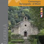 Alta Garrotxa – Comanegra – Bassegoda – el Mont Editorial Alpina
 Alt Pirineu Natural Park Editorial Alpina
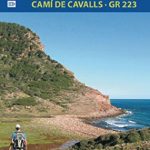 Menorca – Camรญ de Cavalls – GR223 Editorial Alpina CATALAN
 Puigsacalm – Bellmunt Editorial Alpina
 Ibiza – Formentera Editorial Alpina
 Rasos de Peguera – Serra d`Ensija Editorial Alpina
 Val d`Aran – Mauberme – Montardo – Molieres Editorial Alpina
Garraf – la Morella – Eramprunya Editorial Alpina
Val d`Aran – Mauberme – Montardo – Molieres Editorial Alpina
Garraf – la Morella – Eramprunya Editorial Alpina
 Cap de Creus Park Natural Editorial Alpina
Cingles de Berti – Sant Miquel des Fai Editorial Alpina
Val d`Aran by UTMB Editorial Alpina Trail running race Map
Cap de Creus Park Natural Editorial Alpina
Cingles de Berti – Sant Miquel des Fai Editorial Alpina
Val d`Aran by UTMB Editorial Alpina Trail running race Map
 Montseny Editorial Alpina
 Menorca – Camรญ de Cavalls – GR223 Editorial Alpina ENGLISH
 Valles de Belagua y Roncal Editorial Alpina
 Montseny NP – Turo de l`Home – Les Agudas – Matagalls – la Calma Editorial Alpina 2-Map Set
Vall de Barravรฉs – Ribagorรงa Editorial Alpina
Montseny NP – Turo de l`Home – Les Agudas – Matagalls – la Calma Editorial Alpina 2-Map Set
Vall de Barravรฉs – Ribagorรงa Editorial Alpina
 Costabona – Alta Val de Ter Editorial Alpina
 Vall de Lord – Port del Comte Editorial Alpina
 Muntanya d’Alinyร Editorial Alpina
Collserola Parc Natural Editorial Alpina
Muntanya d’Alinyร Editorial Alpina
Collserola Parc Natural Editorial Alpina
 Pyrรฉnรฉes Ariรฉgeoises – Mont Valier – Pique d`Estats IGN 75020
Sant Llorenc del Munt i l`Obac Editorial Alpina
Pyrรฉnรฉes Ariรฉgeoises – Mont Valier – Pique d`Estats IGN 75020
Sant Llorenc del Munt i l`Obac Editorial Alpina
 Garrotxa – Zona Volcanica Editorial Alpina
 Montgrony – Fonts del Llogregat – Parc Natural del Cadรญ-Moixerรฒ Editorial Alpina
 Delta of the Ebro ‘“ Serra de Montsiร Editorial Alpina
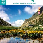 Travessa 3 Refugis – Caranรงร – Ulldeter – Coma de Vaca Editorial Alpina
Moixerรณ – La Tosa – Cadรญ-Moixerรณ Natural Park Editorial Alpina
Travessa 3 Refugis – Caranรงร – Ulldeter – Coma de Vaca Editorial Alpina
Moixerรณ – La Tosa – Cadรญ-Moixerรณ Natural Park Editorial Alpina
 Puigmal – Vall de Nuria – Ulldeter Editorial Alpina
Montnegre – Corredor Editorial Alpina
Cerdanya – Alta Cerdanya – Capcir – Andorra Editorial Alpina
Puigmal – Vall de Nuria – Ulldeter Editorial Alpina
Montnegre – Corredor Editorial Alpina
Cerdanya – Alta Cerdanya – Capcir – Andorra Editorial Alpina
 Ripollรจs Editorial Alpina
Valles de Ansรณ & Echo Editorial Alpina
Ripollรจs Editorial Alpina
Valles de Ansรณ & Echo Editorial Alpina
 Catllarร s – Picancel Editorial Alpina
 El Turbรณn ‘“ Alto Valle de Isรกbena Editorial Alpina
Sierra Nevada – La Alpujarra Editorial Alpina
El Turbรณn ‘“ Alto Valle de Isรกbena Editorial Alpina
Sierra Nevada – La Alpujarra Editorial Alpina
 Cabo de Gata-Nรญjar Natural Park Editorial Alpina
 Valles de Irati y Aezkoa Editorial Alpina