Disclosure : This site contains affiliate links to products. We may receive a commission for purchases made through these links.
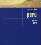
Peru Mapa Vial – Mini edition
Small, double-sided road map dividing the country north/south. The detail is the same as that on the 1:2,200,000 map by this publisher, here reproduced at a slightly larger scale. Hill-shading effectively shows the general relief and selected peak heights are marked. Road detail includes unpaved roads and dirt roads, and shows intermediate driving distances on main routes. Administrative department boundaries are marked, also national parks and reserves – although these are not particularly obvious. Symbols classify settlements according to population size. Other symbols denote airports, ports, high passes, thermal springs, archaeological sites, mines and other sites of interest to tourists. Latitude & longitude lines are at 1ยฐ intervals. The legend is in Spanish and English.

Related Products:
 Peru Mapa Vial
 Peru Borch
 China ITMB
 Sierra Leone ITMB
 France F&B
 Russia – C. I. S. F&B
 Venezuela F&B
 Peru Reise Know-How
 Vietnam – Laos – Cambodia F&B
 Peru: IGN Departmental Maps
 Elba F&B Pocket Map
 Peru ITMB
 Bali – Lombok – Komodo F&B
 Peru F&B
 France North F&B
 Peru NGS Adventure Map 3404
 France South F&B
 Korea South & North ITMB
 Baltic States F&B
 Panama NGS Adventure Map 3101
 Trinidad & Tobago ITMB
 Netherlands F&B
 Greece 700K F&B
 Alaska F&B
 South Africa Giant Road Map
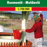 Romania – Moldova F&B
 Montrรฉal Borch
 Germany North F&B
 Cusco & Peru South ITMB
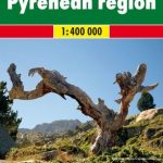 Pyrenees F&B
 Central America – Caribbean Islands – Mexico
 Germany South F&B
 Slovenia – Croatia – Serbia – Bosnia-Herzegovina – Macedonia – Kosovo – Montenegro F&B
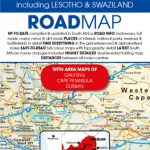 South Africa – Lesotho & Swaziland Map Studio
 South Tyrol – Trentino – Lake Garda – Veneto F&B
 Lima & Central Peru ITMB
 Western Cape Map Studio
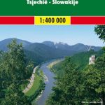 Czech – Slovak Republics F&B
 Congo, Democratic Republic