Disclosure : This site contains affiliate links to products. We may receive a commission for purchases made through these links.
Pennsylvania Recreation Atlas

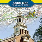
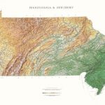
Recreation Atlas of Pennsylvania from the National Geographic with contoured, GPS compatible mapping at 1:150,000 plus extensive additional tourist information including tablse showing facilities at campgrounds, national and state parks, etc.The atlas presents Pennsylvania on detailed mapping at 1:150,000 (1’ to 2.37 miles) with contours at 100 feet intervals and spot heights for peaks, and plenty of names of mountain ranges, etc. Different types of protected areas: national or state parks and forests, wilderness areas, wildlife refuges, etc, as well as Indian Reservations are indicated by the colouring of their boundaries. Road network is presented in great detail, from limited access and toll highways to unimproved roads and trails. Symbols indicate various recreational locations including campsites. The maps have latitude and longitude lines at intervals of 2’30″. The index has separate lists of cities/towns/locales, water and physical features, and parks/forests/refuges.Extensive tables, accompanied where appropriate by state maps highlighting locations of the featured sites, show what facilities and recreational options (hiking, biking, horse riding fishing, etc) are available at: campgrounds, state parks, state and national trails, golf courses and ski areas, lakes, trout streams, plus hunting and shooting ranges.Additional features include a highway map of Pennsylvania, descriptions of the state’s 15 best places of interest, a physical map, plus climate information.


