Disclosure : This site contains affiliate links to products. We may receive a commission for purchases made through these links.
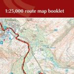
Pennine Way Cicerone Map Booklet

Britain`s oldest, toughest and best-known long-distance footpath, the Pennine Way stretches 427km (2651/2 miles) from Edale in Derbyshire to Kirk Yetholm in the Scottish Borders. Showcasing the wild beauty of the North, it crosses three National Parks – the Peak District, Yorkshire Dales and Northumberland National Park – plus the North Pennines Area of Outstanding Natural Beauty and the UNESCO World Heritage Site of Hadrian`s Wall. This map booklet contains all the OS 1:25,000 Explorer mapping you need to complete the Pennine Way National Trail, saving the space, weight and expense of multiple map sheets. Conveniently sized to slip in a jacket pocket or rucksack top, it comes in a clear PVC sleeve. NOTE An accompanying Cicerone guidebook – The Pennine Way – describes the full route from south to north with lots of other practical and historical information. The accompanying guidebook INCLUDES a copy of this map booklet.

Related Products:
 North Downs Way Cicerone Map Booklet
 Two Moors Way Cicerone Map Booklet
 The Dales Way Cicerone Map Booklet
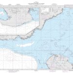
 South West Coast Path 3 – Plymouth to Poole Cicerone Map Booklet
 South West Coast Path 1 – Minehead to St Ives Cicerone Map Booklet
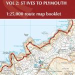 South West Coast Path 2 – St Ives to Plymouth Cicerone Map Booklet
 The Cleveland Way Cicerone Map Booklet
 Speyside Way Cicerone Map Booklet
 The Coast to Coast Cicerone Map Booklet
 The South Downs Way Map Booklet
 The Ridgeway Cicerone Map Booklet
 The Pennine Way: From Edale to Kirk Yetholm
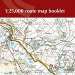 Dales Way Map Booklet
 Merseyside & Manchester – Pennine Cycleway – The Trans Pennine Trail Sustrans Cycle Map 25
 Hadrian`s Wall Path Cicerone Map Booklet
 West Highland Way Cicerone Map Booklet
 Cotswold Way Cicerone Map Booklet
 Pennine Way North Harvey XT40 National Trail Map
 Offa`s Dyke Path Cicerone Map Booklet
 Pennine Bridleway: From Derbyshire through the Yorkshire Dales to Cumbria
 Pennine Bridleway A-Z National Trail Road Map
 The Thames Path Cicerone Map Booklet
 Pembrokeshire Coast Path Cicerone Map Booklet
 Pennine Bridleway Harvey XT40 National Trail Map
 Pennine Bridleway South Harvey XT40 National Trail Map
 Great Glen Way Cicerone Map Booklet
 Pennine Way South Harvey XT40 National Trail Map
 The Peak District Sustrans Cycle Map 26 – Trans Pennine Trail – Tissington Trail – High Peak Trail
 Pennine Cycleway South Sustrans Cycle Route Map
 Pennine Cycleway North Sustrans Cycle Route Map
 Trekking the Tour of Mont Blanc: Complete two-way hiking guidebook and map booklet
 Pennine Walkies
 Pennine Way National Trail
 The Pennine Way: The Path, the People, the Journey
 Walking in County Durham: 40 walking routes exploring Pennine moors, river valleys and coastal paths
 Pennine Way: Edale to Kirk Yetholm
 Yorkshire Dales Mountain Biking: Classic Pennine Trails
 Walking Home, Travels with a Troubadour on the Pennine Way
 Cheshire Ring and South Pennine Ring Pearson`s Canal Companion
 Pembrokeshire Coastal Path