Disclosure : This site contains affiliate links to products. We may receive a commission for purchases made through these links.
Pattaya – Ko Chang: Chonburi, Rayong, Chanthaburi, Trat
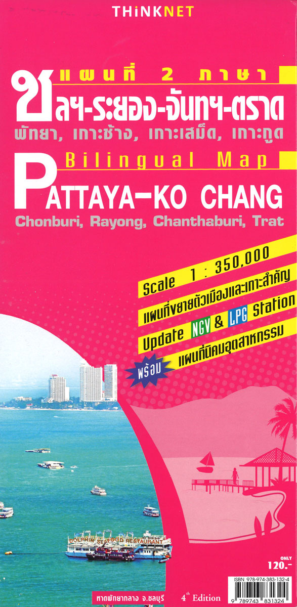
Pattaya, Chang Island and the nearby provinces of central-eastern Thailand on a road map at 1:350,000 from the Bangkok based ThinkNet, plus 18 additional panels showing in more detail the region’s most visited locations; all highlight numerous places of interest and facilities and all the information is in Thai and English.The main map at 1:350,000 clearly presents the region’s road and railway network on a plan white base showing only rivers and lakes. Driving distances are shown on main routes, and locations of petrol stations are marked. Extensive overprint with a wide range of symbols highlights numerous places of interest and local facilities. The map has no geographical coordinates and is not indexed.18 additional panels, as indicated on the main map, present the region’s most visited locations in greater detail. Street maps cover the Pattaya – Jomtien area, Chon Buri – Bang Saen, Amphoe Si Racha, plus downtown Chanthaburi, Rayong and Trat. Also covered are the islands of Si Chang, Lan, Mak, Kut, Samet and Chang; plus the industrial estates of Amata Nakorn and Laem Chabang in Chon Buri, Ta Phut, Amata City, and Eastern Seaboard in Rayong, and Gateway City in Chachoengsao. All are annotated, like the main map, with facilities and places of interest.PLEASE NOTE: place names on maps in this series, apart from names of administrative units, are in print size significantly smaller than usually found on most road maps. All the information is clearly legible, but it’s not always easy to locate main towns. To see the list of titles in this series please click on the series link.

Related Products:
 Perth and Region Hema
 Adelaide and Region Hema
 Beijing Borch
 Bangkok Borch
 Brisbane Hema
 Jerusalem Borch
 Melbourne and Region Hema
 Singapore & Malay Peninsula ITMB
 Sydney and Region Hema
 Lisbon Borch
 Northern Thailand
 Aguascalientes State – Aguascalientes City
 Guanajuato State – Guanajuato City
Durango State – Durango City
Guanajuato State – Guanajuato City
Durango State – Durango City
 Tlaxcala State – Tlaxcala City
Zacatecas State – Zacatecas City
Colima State – Colima City
Tlaxcala State – Tlaxcala City
Zacatecas State – Zacatecas City
Colima State – Colima City
 Campeche State – Campeche City
 Oaxaca State – Oaxaca City
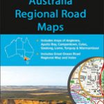 Australia: UBD Gregory`s Regional Road Maps
 Thailand Handy Road Atlas
 Veracruz State – Xalpa and Veracruz City
 Melbourne to Adelaide – featuring the Great Ocean Road and Victorian Goldfields Hema Touring Map
 Lake District A-Z Visitor`s Atlas & Guide
 Querรฉtaro State – Querรฉtaro City
 San Luis Potosรญ State – San Luis Potosรญ City
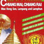 Chiang Mai and Nearby Provinces
 Mexico Road and Tourist Atlas
Chennai (Madras)
Mexico Road and Tourist Atlas
Chennai (Madras)
 North-Eastern Thailand
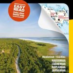 Estonia North-West Regio Map
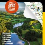 Estonia South-East Regio Map
 Central and Eastern Thailand
 Mรฉxico State – Toluca
 Michoacรกn State – Morelia
Odessa CYRILLIC
Michoacรกn State – Morelia
Odessa CYRILLIC
 Estonia South-West Regio Map
 Jalisco State – Guadalajara
Coahuila State – Saltillo
Jalisco State – Guadalajara
Coahuila State – Saltillo