Disclosure : This site contains affiliate links to products. We may receive a commission for purchases made through these links.
Patricroft and Monton 1905

Patricroft and Monton 1905 in a fascinating series of reproductions of old Ordnance Survey plans in the Alan Godfrey Editions, ideal for anyone interested in the history of their neighbourhood or family. The map covers the Patricroft area, formerly part of the borough of Eccles, including Patricroft itself and stretches north to Monton and Monton Green, and west to Winton and Alder Forest. Features include the engine sheds and sidings at Patricroft (which was one of the last steam sheds to close), Bridgewater Foundry, Magnesium Metal Works, Barton on Irwell Workhouse, Ellesmere Iron Foundry, British Pluviusin Works, Patricroft and Monton Green stations, Bridgewater Canal, Monton Dye Works, tramways, Parrin Lane, Worsley Road, Monton Unitarian Chapel, etc. The Grange is at the western extremity. On the reverse are street directory entries for Monton Green, Monton Road and Parrin Lane. About the Alan Godfrey Editions of the 25″ OS Series:Selected towns in Great Britain and Ireland are covered by maps showing the extent of urban development in the last decades of the 19th and early 20th century. The plans have been taken from the Ordnance Survey mapping and reprinted at about 15 inches to one mile (1:4,340). On the reverse most maps have historical notes and many also include extracts from contemporary directories. Most maps cover about one mile (1.6kms) north/south, one and a half miles (2.4kms) across; adjoining sheets can be combined to provide wider coverage.FOR MORE INFORMATION AND A COMPLETE LIST OF ALL AVAILABLE TITLES PLEASE CLICK ON THE SERIES LINK.

Related Products:
 Openshaw 1905
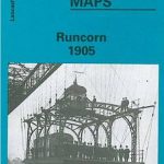 Runcorn 1905 – 115.13b
 Wavertree and Broad Green 1905
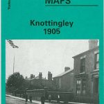 Knottingley 1905
Halifax Ovenden Cross 1905
Knottingley 1905
Halifax Ovenden Cross 1905
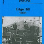 Liverpool Edge Hill 1905
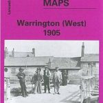 Warrington West 1905
Gateshead East 1895
Warrington West 1905
Gateshead East 1895
 Gunnislake South and Albaston 1905
Barton upon Irwell 1888
Gunnislake South and Albaston 1905
Barton upon Irwell 1888
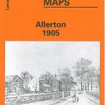 Allerton 1905
Halifax: Mixenden and South Illingworth 1905
Allerton 1905
Halifax: Mixenden and South Illingworth 1905
 Coventry 1905 – 21.12b
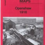 Openshaw 1916
Old Trafford 1905
Brades Village 1902 68.13a
Openshaw 1916
Old Trafford 1905
Brades Village 1902 68.13a
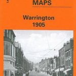 Warrington 1905
 Oakenshaw, Low Moor and Wyke 1905
 Huddersfield South 1905
 Pendleton North 1915
 Goole 1905
Trafford Park South 1937
Norwich (North) 1905 – 63.11
Wood Green 1912 – 7.3
Goole 1905
Trafford Park South 1937
Norwich (North) 1905 – 63.11
Wood Green 1912 – 7.3
 Wood Green 1894 – 7.2
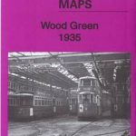 Wood Green 1935 – 7.4
 Tong 1905
Gunnislake North 1905
Tong 1905
Gunnislake North 1905
 Palmers Green 1912 – 7.14a
 Leeds South and South East 1906
Hindley Green 1906
Leeds South and South East 1906
Hindley Green 1906
 Norwich (South) 1905 – 63.15
Leyland 1909
Boscastle 1905
Stockton (North) 1899 – 50.12a
Leeds South and South East 1890 (Colour Edition)
Norwich (South) 1905 – 63.15
Leyland 1909
Boscastle 1905
Stockton (North) 1899 – 50.12a
Leeds South and South East 1890 (Colour Edition)
 Heckmondwike 1905
 Mossley Hill 1905
Lye 1914
Abram 1905
Mossley Hill 1905
Lye 1914
Abram 1905