Disclosure : This site contains affiliate links to products. We may receive a commission for purchases made through these links.
Palm Springs Noir


Related Products:
 Moon Palm Springs & Joshua Tree (Second Edition)
 Admiralty Chart AUS828 – Palm Isles to Brook Islands and Palm Passage
 NOAA Chart 11472 – Intracoastal Waterway’”Palm Shores to West Palm Beach – Loxahatchee River
 USA Noir: Best of the Akashic Noir Series
 Atlanta Noir: Akashic Noir
 The Palm Wine Drinkard
 Palm Beach, Finland
 111 Places in Palm Beach That You Must Not Miss
 Alice Springs to Boulia
Oodnadatta to Alice Springs
Alice Springs to Boulia
Oodnadatta to Alice Springs
 Pagosa Springs – Bayfield CO
 Steamboat Springs CO Trail Map
 Colorado Springs CO Rand McNally
 Idaho Springs – Loveland Pass CO
 The Last Wolf: The Hidden Springs of Englishness
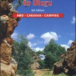 Alice Springs to Uluru (Ayers Rock)
 Steamboat Springs – Rabbit Ears Pass CO
 Mammoth Hot Springs – Yellowstone National Park NW WY/MT
 Aspen – Glenwood Springs – Snowmass – Rifle CO
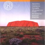 Red Centre – Alice Springs to Uluru NT Hema
 Moon Denver, Boulder & Colorado Springs
 NOAA Chart 11459 – Port of Palm Beach and Approaches
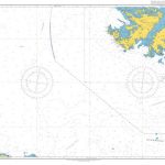
 Admiralty Chart AUS827 – Cape Bowling Green to Palm Isles
 Japanese Inns and Hot Springs: A Guide to Japan`s Best Ryokan and Onsen
 Miami – Fort Lauderdale – West Palm Beach FL Regional Rand McNally
 NOAA Chart 11467 – Intracoastal Waterway’”West Palm Beach to Miami
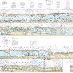
 NOAA Chart 11485 – Intracoastal Waterway’”Tolomato River to Palm Shores
 Akashic Noir
 Admiralty Chart 3684 – Port of Palm Beach with Approaches and Port Everglades
 Colorado River – Kremmling To Glenwood Springs CO NGS Fishing & River Map-Guide 2307
 Marlborough – Kaikoura: Nelson, Blemheim, Kaikoura, Hanmer Springs
 A House with a Date Palm Will Never Starve: Cooking with Date Syrup: Forty Chefs and an Artist Create New and Classic Dishes with a Traditional Middle Eastern Ingredient
 Rio Noir
 Onsen of Japan: Japan`s Best Hot Springs and Bathhouses
 Montreal Noir
 The Third Squad: A Noir Novel
 Milwaukee Noir
 Washington DC Noir
 Bronx Noir
 Trinidad Noir