Disclosure : This site contains affiliate links to products. We may receive a commission for purchases made through these links.
Pakistan F&B
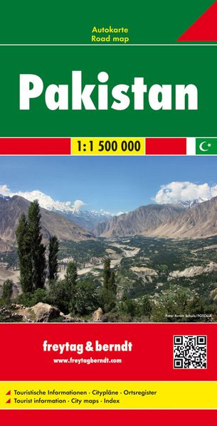
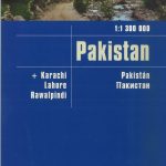
This Pakistan at 1:1,500,000 large indexed road map from Freytag & Berndt, with street plans of central Islamabad, Karachi, Lahore and Peshawar, provides a good presentation of the countryโ€s topography.The map has bold relief shading with spot heights and names of main geographical features, plus colouring and/or graphics to show swamps and lakes, deserts and depressions, wells, natural preserves, etc. Also marked are oil fields and internal administrative boundaries with names of the provinces. Road network includes main roads and motorways as well as secondary roads and tracks and sections under construction. It also shows driving distances in kilometres on main and secondary routes. Railway lines are marked and international and local airports are indicated. Symbols highlight various places of interest, including UNESCO World Heritage sites, monasteries, temples and antique sites. All place names are in Latin alphabet only. Latitude and longitude lines are drawn at intervals of 1ยบ. Extensive index is on the reverse and the multilingual map legend includes English.Also provided are street plans of central Islamabad, Karachi, Lahore and Peshawar, naming main streets and highlighting places of interest.

Related Products:
 Pakistan Nelles
 Pakistan ITMB
 Iran F&B
 Afghanistan F&B
 Mexico Michelin
 Central Asia F&B
 Aruba
Aruba
 Pakistan Reise Know-How
 Curaรงao
 USA North-East
 Cuba Nelles
 Turkey Michelin
 Cuba Michelin
 Insight Guides Pakistan (Travel Guide with Free eBook)
 Cuba terraQuest Adventure Map
 Czech Republic ITMB
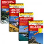
 Cyprus F&B Top 10 Tips
 Ukraine – Moldova F&B
 Ireland Marco Polo Map
 Ukraine – Moldova Gizi Map
 Macedonia Gizi Map
 Argentina North & Uruguay ITMB
 Morocco F&B
 Namibia Map Studio Adventure Map
 Havana & Cuba Central ITMB
 Central Asia Nelles
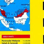 Malaysia Periplus Travel Map
 Bulgaria – City Centres Domino Road Map
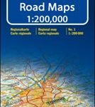 Italy: Kรผmmerly + Frey 200K Regional Road Maps
 Afghanistan – Kabul & 5 Cities Street Plans Gizi Wall Map
Brazil ITMB
Afghanistan – Kabul & 5 Cities Street Plans Gizi Wall Map
Brazil ITMB
 Spain: Mairdumont 300K Regional Road Maps
 Ukraine – Moldova Wall Map
 Cuba Gizi Map
 India North Nelles
 India F&B
 Poland North
 Poland South
 Brazil HARDCOVER ITMB
 Croatia – Montenegro Coast Cartographia 2-Map Set