Disclosure : This site contains affiliate links to products. We may receive a commission for purchases made through these links.
Paisley 1858 (Colour Edition)

Paisley in 1858 in a fascinating series of reproductions of old Ordnance Survey plans in the Alan Godfrey Editions, ideal for anyone interested in the history of their neighbourhood or family. Two versions have been published for this area. Coverage extends from Ferguslie House and the cemetery eastward to Greenlaw Avenue and Kilnside Road, and from Clark Street southward to Maxwellton and Canal Street. Features include the town centre, Fountain Gardens, GSWR railway with Gilmour Street station, CR Greenock Branch, Canal Branch with station, Distilleries, Anchor Mills, Kilnside House, White Cart Water, John Neilson Educational Institution, Town Hall, The Abbey, Greenlaw Goods station, Hot House Works, Female Refuge, Woodside House, football ground, Trotting Ground, Iron Works, George Street area, etc. On the reverse of the 1896 version are street directory entries for Incle Street, Johnson Street, Kilnside Road, Love Street, Maxwellton and Moss Street; on the 1858 edition which is in colour are 1866 railway timetables.About the Alan Godfrey Editions of the 25″ OS Series:Selected towns in Great Britain and Ireland are covered by maps showing the extent of urban development in the last decades of the 19th and early 20th century. The plans have been taken from the Ordnance Survey mapping and reprinted at about 15 inches to one mile (1:4,340). On the reverse most maps have historical notes and many also include extracts from contemporary directories. Most maps cover about one mile (1.6kms) north/south, one and a half miles (2.4kms) across; adjoining sheets can be combined to provide wider coverage.FOR MORE INFORMATION AND A COMPLETE LIST OF ALL AVAILABLE TITLES PLEASE CLICK ON THE SERIES LINK.

Related Products:
 Middlesbrough North 1893 (Colour Edition)
Swinton 1901
Barnsley 1890 (Colour Edition)
Middlesbrough North 1893 (Colour Edition)
Swinton 1901
Barnsley 1890 (Colour Edition)
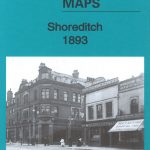 Shoreditch 1893 – 51.2
 Shoreditch 1872 – 51.1
 Shoreditch 1914 – 51.3
Central Liverpool 1890 – 106.14a Colour Edition
Swindon South-West 1899
Swindon South-East 1899
Swindon (NW) 1899 – 15.03a
Swindon (NE) 1899 – 15.04a
Duns & Greenlaw 1898 – 16.07
Shoreditch 1914 – 51.3
Central Liverpool 1890 – 106.14a Colour Edition
Swindon South-West 1899
Swindon South-East 1899
Swindon (NW) 1899 – 15.03a
Swindon (NE) 1899 – 15.04a
Duns & Greenlaw 1898 – 16.07
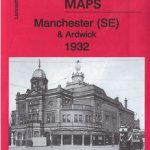 Manchester SE & Ardwick 1932 – 104.11b
Manchester South-East 1915
Leeds South and South East 1890 (Colour Edition)
Birmingham North 1913
Lifford and Bournville 1903
Trafford Park South 1937
Luton 1922 – 33.05
Coatbridge 1910 – 7.12b
Coatbridge 1897
Newtownards 1901
Manchester SE & Ardwick 1932 – 104.11b
Manchester South-East 1915
Leeds South and South East 1890 (Colour Edition)
Birmingham North 1913
Lifford and Bournville 1903
Trafford Park South 1937
Luton 1922 – 33.05
Coatbridge 1910 – 7.12b
Coatbridge 1897
Newtownards 1901
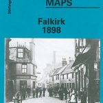 Falkirk 1898
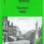 Taunton 1886 – Colour Edition
Flixton 1904
St Rollox 1894 – 6.07a
Openshaw 1905
Taunton 1886 – Colour Edition
Flixton 1904
St Rollox 1894 – 6.07a
Openshaw 1905
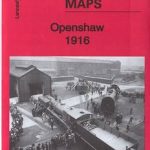 Openshaw 1916
Glasgow St Rollox 1933
Openshaw 1916
Glasgow St Rollox 1933
 Darlington (South) 1898 – 55.10a
 Derby (South) 1899 – 50.13a
Coatdyke 1897 – 8.09
Derby (South) 1899 – 50.13a
Coatdyke 1897 – 8.09
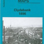 Clydebank 1896
Aintree 1906
Blackburn 1929
Blackburn 1910
Clydebank 1896
Aintree 1906
Blackburn 1929
Blackburn 1910
 Hull North East 1908
Loughborough 1901
Hull North East 1908
Loughborough 1901
 Walsall (SW) & Pleck 1901 – 63.10a
Exeter 1888 – 80.06a Colour Edition
Walsall (SW) & Pleck 1901 – 63.10a
Exeter 1888 – 80.06a Colour Edition