Disclosure : This site contains affiliate links to products. We may receive a commission for purchases made through these links.
Oxford Cartographers Peters Projection World Political Map 863 x 613 mm
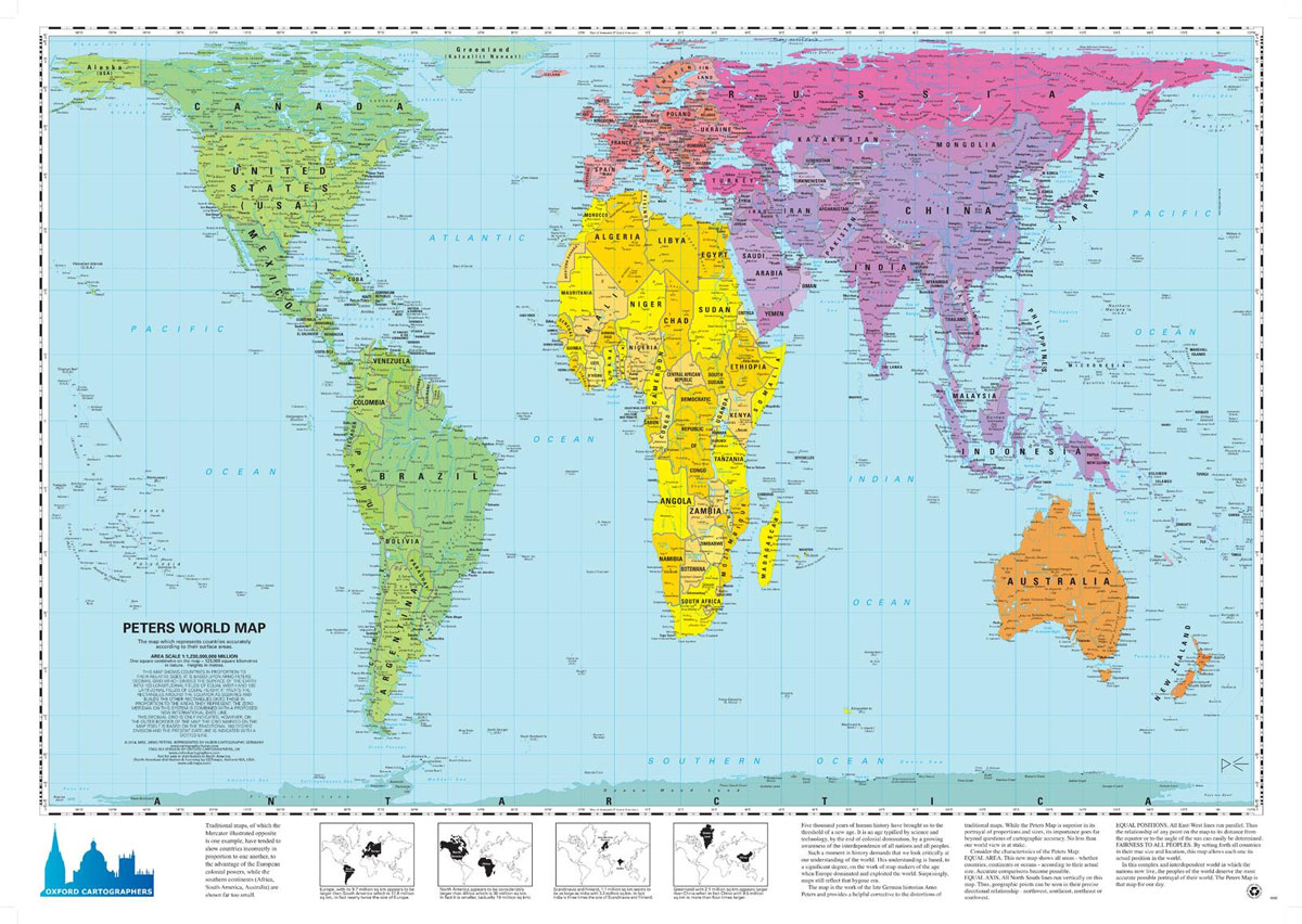
World map, politically coloured, on the Peters ProjectionMaps not only represent the world, they shape the way we see it. The revolutionary Peters Projection map presents countries in their true proportion to one another: it has been adopted by the UN, aid agencies, schools and businesses around the world.What is the Peters Map?The Peters World Map is an Equal Area cylindrical projection with standard parallels at 45 degrees thus resulting in a distortion of shape which is stretched about the equator and squashed towards the poles, but having the great advantage that all countries are correct in size in relation to each other. Widely used in educational and business circles as an icon of the modern concept of world equality.

Related Products:
 Oxford Cartographers Peters Projection World Political Map 863 x 613 mm CANVAS
 Oxford Cartographers Peters Projection World Environmental 863 x 613 mm
 Oxford Cartographers Peters Projection World Environmental 863 x 613 mm CANVAS
 World: Future Map Company Sinu-Mollweide Projection Political Wall Maps
 World Schofield & Sims Political Wall Map
 Political World Globe 15cm: Swivel and Tilt World Political Globe
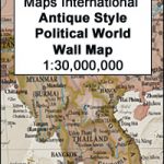 World Maps International Antique Political Wall Map
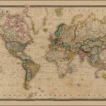 The World On Mercators Projection C.1861
 NGS Executive Political World Wall Map FRAMED
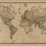 World on Mercator`s Projection by James Wyld c.1861 MEDIUM
 NGS Executive Political World Wall Map ENLARGED, FRAMED
 NGS Classic Political World Wall Map ENLARGED, PIN BOARD, FRAMED
 World: National Geographic Society Decorator Style Political Wall Maps
 Gateshead East & St Peters 1913: Tyneside Sheet 19a
 World: National Geographic Society Executive Style Political Wall Maps
 World K+F Political 30M Map
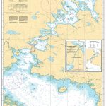 CHS Chart 4275 – St. Peters Bay
 World: National Geographic Society Classic Style Political Wall Maps
 World K+F Political 30M Wall Map LAMINATED
World: Michelin Political Wall Maps
World K+F Political 30M Wall Map LAMINATED
World: Michelin Political Wall Maps
 National Geographic World Explorer 813 x 511 mm
 NGS Executive Political World Wall Map 3-SHEET SET, ENCAPSULATED
 World K+F Political 30M Wall Map MEDIUM PIN-BOARD
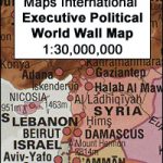 World Maps International Executive Political Wall Map
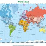 `Everlasting` World Map Poster. Printed on special TEAR-RESISTANT material.
 World Maps International Political Wall Map SMALL PAPER
 Latitude: The Astonishing Adventure that Shaped the World
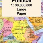 World Maps International Political Wall Map LARGE PAPER
 World Maps International Political Wall Map MEDIUM PAPER
 World & Flags Hema Political Pacific-Centred
 World Political F&B
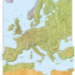 Oxford Cartographers Europe Environmental
 World Maps International Political UPSIDE-DOWN Wall Map LARGE PAPER
World: Kรผmmerly + Frey Political Wall Maps
World Maps International Political UPSIDE-DOWN Wall Map LARGE PAPER
World: Kรผmmerly + Frey Political Wall Maps
 World Maps International Political Wall Map SMALL PIN-BOARD FRAMED with flags
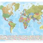
 World Maps International Political Wall Map LARGE PIN-BOARD FRAMED with flags
 World Maps International Political Wall Map MEDIUM PIN-BOARD FRAMED with flags
 World Marco Polo Political Wall Map
 World Hema Political Pacific-Centred
 World Norstedts Black & White Political Wall Map