Disclosure : This site contains affiliate links to products. We may receive a commission for purchases made through these links.
Outer Hebrides Leisure and Tourist Map
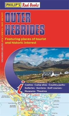
The new edition of this leisure and tourist map of the Outer Hebrides gives detailed coverage of the area`s road network at a scale of 3.16 miles to 1 inch. The map shows places of tourist and historic interest, including castles, camping sites, country parks, galleries, gardens, golf courses, marinas, museums, nature trails, historic sites, sports venues, theatres, theme parks, wildlife parks and zoos. An index to principal places of interest is also featured. In a convenient folded format, this single-sided sheet map is ideally suited for both leisure and business use, whether by locals or visitors.

Related Products:
 Highlands of Scotland Leisure and Tourist Map
 Skye and Lochalsh Leisure and Tourist Map
 Orkney – Shetland Islands Leisure and Tourist Map
 Outer Hebrides Philip`s Leisure and Tourist Map
 The Cotswolds Red Books Leisure and Tourist Map
 Isle of Wight Leisure and Tourist Map
 Outer Hebrides Nicolson Tourist Map
Outer Hebrides: The Western Isles of Scotland from Lewis to Barra
Outer Hebrides Nicolson Tourist Map
Outer Hebrides: The Western Isles of Scotland from Lewis to Barra
 Caithness & Sutherland Nicolson Tourist Map
 Outer Hebrides Collins Pocket Map
 Top of Switzerland – Travel & Excursion Guide to Switzerland`s top tourist attractions
 Orkney Nicolson Tourist Map
 Czech Republic 100K Tourist Road Atlas
 Dublin City Centre Tourist Map
 France: IGN 200K Tourist Maps
 The Hebridean Way: Long-Distance Walking Route Through Scotland`s Outer Hebrides
 The Outer Hebrides: 40 Coast & Country Walks
 Lima Tourist Plan
 Bialystok Environs – Narwianski National Park ExpressMap Tourist Map
 Germany: Baden-Wรผrttemberg 50K Topographic Survey Leisure Maps
 Outer Hebrides – CCC Sailing Directions and Anchorages
 The Outer Hebrides: Sea Kayaking Around the Isles & St Kilda
 Istanbul Mepmedya Tourist Plan
 Elba Global Map Tourist Map
 Great Britain: Philip`s “Red Books” Regional and County Tourist Maps
 Stockholm Tourist Map
 St Petersburg Michelin Citymap
 Bloemfontein Pocket Tourist Map
Maremma – Grossetana Global Map Tourist Map
Bloemfontein Pocket Tourist Map
Maremma – Grossetana Global Map Tourist Map
 Port Elizabeth Pocket Tourist Map
 Great Britain: Michelin Regional Tourist Maps
 Waterloo & Beyond: A Tourist Guide to the Battlefield, Museums and More
 Germany – Benelux – Austria – Switzerland – Czech Republic Michelin Tourist and Motoring Atlas 2021
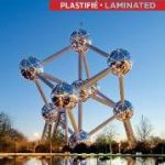 Brussels Michelin Citymap
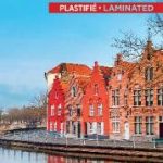 Bruges Michelin Citymap
 Istanbul Michelin Citymap
 Poland`s Tourist Attractions Map
 The Outer Hebrides: The Timeless Way
 Ukraine: Crimea Tourist Atlas
 Germany: Hesse 50K Topographic Survey Leisure Maps