Disclosure : This site contains affiliate links to products. We may receive a commission for purchases made through these links.
Outback New South Wales – from Broken Hill to Tamworth Hema Explorer Map
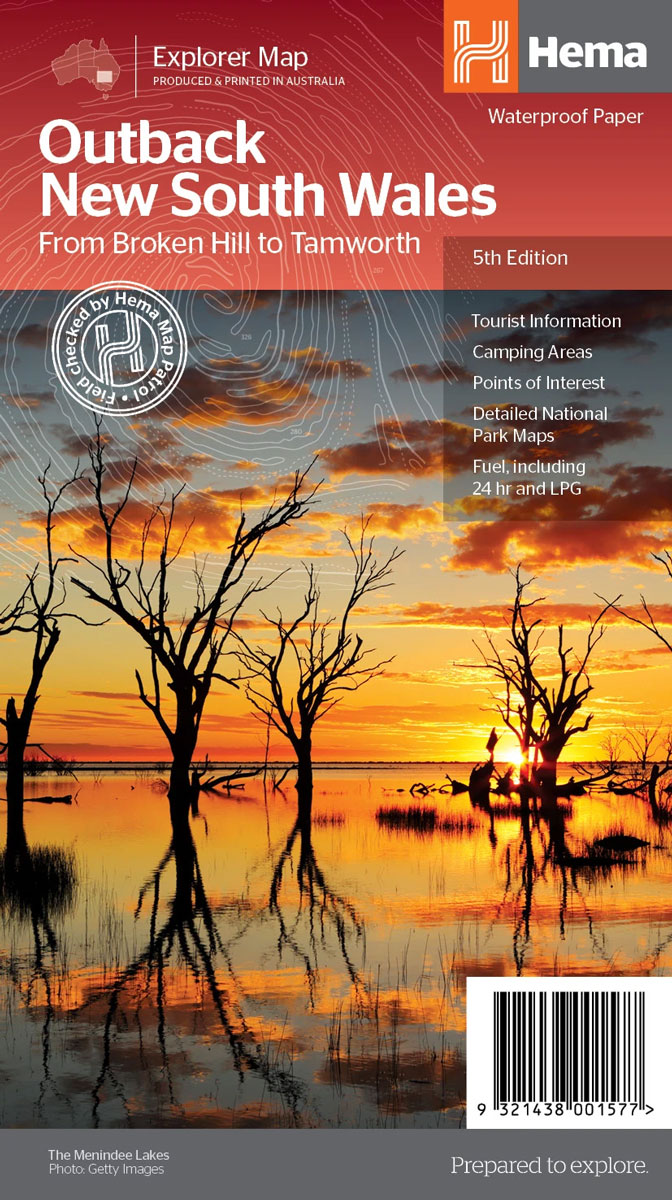
Outback New South Wales, from Sydney to the state’s western and northern borders, on an indexed touring map at 1:1,100,000 from Hema with numerous cross-country tracks verified by the publisher’s own fieldwork, plus enlargements for four popular areas, a table of facilities in national parks, etc. With Sydney on the eastern edge of the map, coverage extends south to Wagga Wagga and west to include the adjoining regions of South Australia and north-western corner of Victoria along the Murray River.Topography is shown by relief shading with names of mountain ranges, hills, etc. Colouring indicates national parks, and other protected land. Road information is divided into two groups: roads and tracks which were plotted by the publishers during fieldwork and other tracks shown on the country’s 250K topographic survey maps and on other sources. A range of symbols highlights various facilities, including roadside rest areas, fuel stations, car repair workshops, accommodation and campsites, meals and general stores, water supplies, Flying Doctor bases, police stations and medical facilities, etc. Also marked are the boundaries of the Pest Free Area and the Fruit Fly Exclusion Zone. The map has latitude and longitude lines at 1ยฐ intervals. The index is next to the main map.On the reverse enlargements show in greater detail four national parks: Mungo, Kinchega, Sturt and Mutawintji. A table shows facilities available in the region’s numerous national parks. Also provided are extensive notes about main places of interest, illustrated with colour photos, plus a list of useful contact addresses.To see other titles in Hema’s series of regional maps of Australia please click on the series link.


