Disclosure : This site contains affiliate links to products. We may receive a commission for purchases made through these links.
Oulu
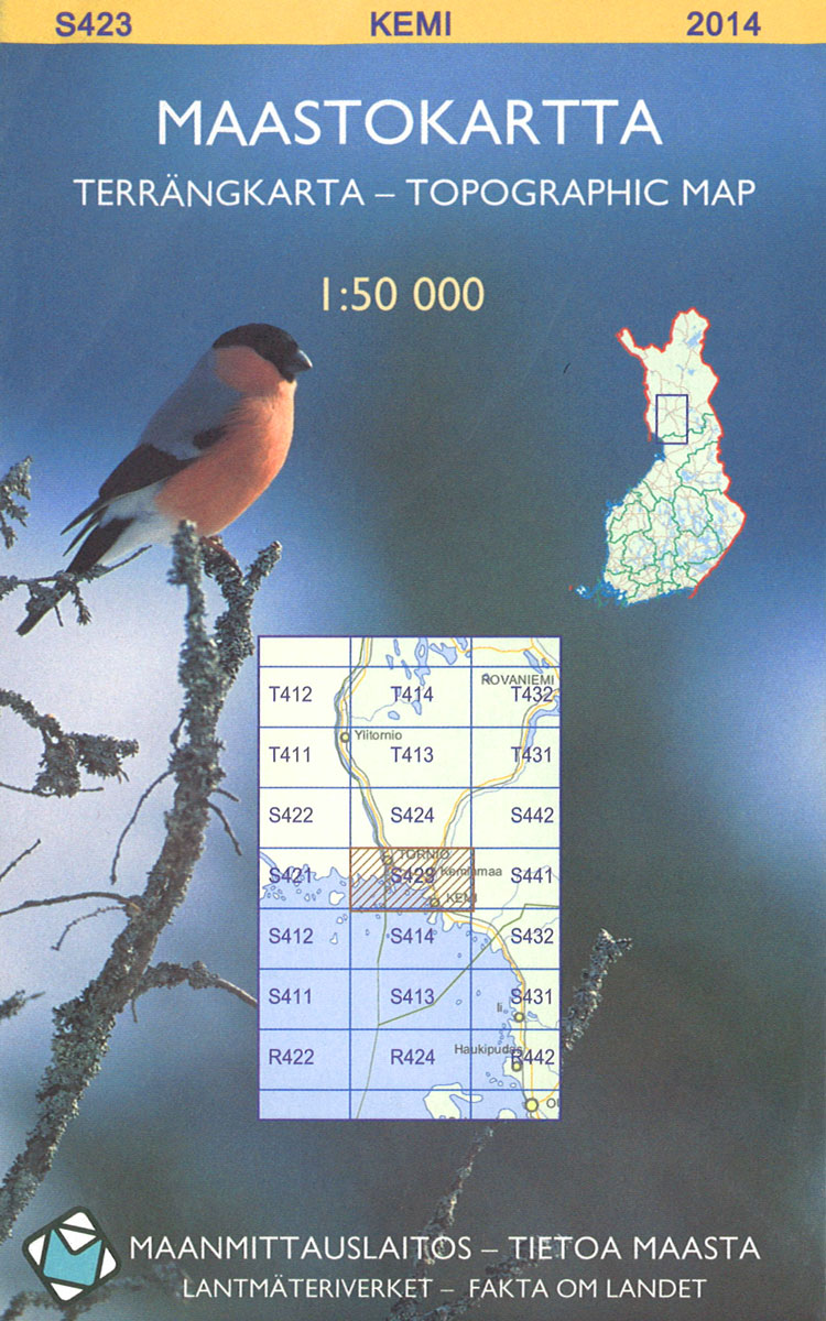
The 1:50 000 topographic map gives a more general picture of the ground features than a basic map. It shows settlements, houses, roads, cultivated areas, waterways, cutting areas, mires, rock exposures, and relief. One map sheet covers an area of 30 x 40 km and one centimetre corresponds to 500 metres on the ground.The 1:50,000 topographic map is also an ideal complement to nautical charts as it provides useful information about the land areas adjacent to waterways. For example, all Finnish sea areas are covered by 1:50 000 topographic map sheets.

Related Products:
 Nellim
Oikarainen
Sinettรค
Uto
Eno
Ii
Lahti
Tampere
Konginkangas
Kittila
Murtovaara
Laihia
Joutseno
Ropi
Lagskar
Raakkyla
Karigasniemi
Iijarvi
Sattanen
Pielavesi
Merikarvia
Porvoo
Kallislahti
Kivivaara
Marttila
Lieksa
Raahe
Ruokolahti
Puokio
Rautjarvi
Yllas
Akaslompolo
Karsamaki
Varkaus
Karunki
Mickelsorarna
Kontiomaki
Tuntsa
Yli-Muonio
Reututunturi
Nellim
Oikarainen
Sinettรค
Uto
Eno
Ii
Lahti
Tampere
Konginkangas
Kittila
Murtovaara
Laihia
Joutseno
Ropi
Lagskar
Raakkyla
Karigasniemi
Iijarvi
Sattanen
Pielavesi
Merikarvia
Porvoo
Kallislahti
Kivivaara
Marttila
Lieksa
Raahe
Ruokolahti
Puokio
Rautjarvi
Yllas
Akaslompolo
Karsamaki
Varkaus
Karunki
Mickelsorarna
Kontiomaki
Tuntsa
Yli-Muonio
Reututunturi