Disclosure : This site contains affiliate links to products. We may receive a commission for purchases made through these links.
Oregon & Northern California Coast Road & Recreation Map
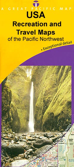
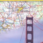
The Coast of Oregon and Northern California on a road map at approx. 1:178,000 approx. from the Great Pacific Recreation & Travel Maps, indexed for sights and attractions and with enlargements and several street plans.The map extends along the Highway 101 on seven overlapping panels and covers the whole of the Oregon coast and the Californian coast from the state’s northern border to beyond Eureka, to include the Humboldt Redwoods State Park and the King Range National Conservation Area.The mapping shows the region’s topography by altitude colouring with names of peaks, mountain ranges, etc. Boundaries of national forests and other protected area are prominently marked. Symbols indicate numerous recreational facilities including campgrounds/RV parks, picnic areas, wildlife watching sites, trailheads, significant trees or groves, breweries and wineries, etc. The maps have no geographical coordinates.Each panel is accompanied by street plan indicating various places of interest and/or services in local towns: Long Beach and Iwaco in Washington State; Astoria, Seaside, Cannon Beach, Tillamook, Waldport, Newport, Reedsport, Florence, North Bend ‘“ Coos Bay, Bandon, Coquille, Port Orford, Gold Beach and Brookings in Oregon, plus Crescent City, Arcata and Eureka in California.Very extensive index is divided into several sections, listing parks/recreational areas, national/state forests and other protected areas, trails and recreational areas, golf courses, breweries/wineries, etc.

Related Products:
 Northern California Coast and Southern Oregon Global Graphics Road Map
 Oregon Road & Recreation Atlas
 Oregon Benchmark Road & Recreation Atlas
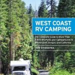 Moon West Coast RV Camping: The Complete Guide to More Than 2,300 RV Parks and Campgrounds in Washington, Oregon, and California
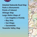
 California Benchmark Road & Recreation Atlas
 Moon Pacific Coast Highway Road Trip (Third Edition): California, Oregon & Washington
 California Northern
 Washington and Oregon Coast
 Oregon Benchmark Recreational Map
 Northern California Benchmark Road Map
 San Francisco & Northern California ITMB
 California Benchmark Road Map
 San Francisco Bay Area Road & Recreation Map
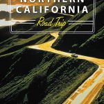 Moon Northern California Road Trip
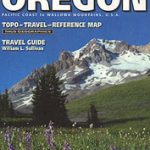 Oregon
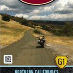 Northern California G1 Butler Motorcycle Maps
 Moon Northern California Hiking (Third Edition): The Complete Guide to the Best Hikes in Northern California
 Oregon Central
 Fodor`s Northern California
 California Borch
 Pacific Northwest – Washington – Oregon Michelin Zoom 171
 Oregon Easy to Fold Rand McNally
 Oregon Easy-to-Read Rand McNally
 Oregon Recreational Atlas & Gazetteer
 Washington State Benchmark Recreation Map
 101 Hikes in Northern California: Exploring Mountains, Valley, and Seashore
 California – Nevada USA 05 Hallwag Road Map
 Olympic Peninsula and Washington Coast, WA
 California Wine Map Global Graphics
 Utah Benchmark Recreation Map
 Idaho Benchmark Road & Recreation Atlas
 Montana Benchmark Road & Recreation Atlas
 Washington State Road & Recreation Atlas
Wyoming Benchmark Road & Recreation Atlas
Washington State Road & Recreation Atlas
Wyoming Benchmark Road & Recreation Atlas
 Northern Baja California NGS Adventure Map 3103
 Nevada Road & Recreation Atlas
 New Mexico Benchmark Road & Recreation Atlas
 Arizona Benchmark Road & Recreation Atlas
 California Southern Easy to Fold Rand McNally
 California DeLorme Atlas & Gazetteer