Disclosure : This site contains affiliate links to products. We may receive a commission for purchases made through these links.
Ontario ITMB
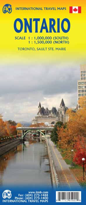
Double-sided map of Ontario from the Vancouver-based ITMB with topography presented by altitude colouring rather than by relief shading, plus three plans of Toronto at different scales: the conurbation, central districts, plus The Beaches. On one side, the more densely populated eastern Ontario is shown at 1:1,000,000, with coverage extending from the Quebec border westwards beyond Sudbury to Manitoulin Island and within US to Detroit and Toledo; northwards coverage extends beyond the Ottawa River and the Trans-Canada Highway 17 to include Lake Temagami. The map shows the region’s road network on a base with altitude colouring (bands and spot heights in feet) and highlighting for national/provincial parks. Road distances are shown on main routes, and border crossings to the US are indicated. Railway lines are includes and local airports are marked. Symbols indicate various places of interest and facilities, including campsites.The map of eastern Ontario is accompanied by three panels covering Toronto: a detailed street plan of the city’s central districts including the University of Toronto campus at 1:12,500 showing its transport network and highlighting numerous facilities and places of interest; The Beaches district east of the downtown area; plus a road map of the Toronto conurbation including access to the Pearson International Airport.On the reverse western Ontario, with the good overlap between the sides, is covered at 1:1,550,000 with similar cartography and presentation. Coverage extends to approx. 90 ยบ north; the Sault Ste. Marie region is presented on a separate panel at 1:670,000 approx. Both sides have separate indexes and show latitude and longitude lines at 1ยบ intervals.To see other titles in this series please click on the series link.

Related Products:
 Toronto & Southern Ontario ITMB
 Southern Ontario ITMB
 Quebec & Ontario ITMB Travel Atlas
 Ontario MapArt
 Ontario Eastern MapArt
 Ontario South Central – Toronto – Niagara Falls – Kitchener-Wateroo Mapart Back Road Map
 Ontario Southwestern: Brantford – London – Kitchener/Waterloo – Bruce Peninsula
 US/Canada Border ITMB
 Central USA & the Mississippi River ITMB
 Ontario MapArt Back Road Atlas
 Moon Toronto & Ontario: With Niagara Falls, Ottawa & Georgian Bay
 Ontario MapArt Pocket Road Atlas
 Africa Northwest ITMB
 Ontario Northern FastTrack Map: North Bay – Sudbury – Thunder Bay – Lake of the Woods
 Africa East & Central ITMB
 US / Mexico Border ITMB
 Florida & US Deep South ITMB
 USA Southwest ITMB
 San Diego & USA South West Border ITMB
 Africa Western ITMB
 Great Lakes ITMB
 Sahara ITMB
 USA South: Atlantic States ITMB
 Central Asia ITMB
 Tibet ITMB
 Seattle & Northwest USA ITMB
 China South ITMB
 Easter Island & Santiago ITMB
 Manhattan & New York State ITMB
 Africa North ITMB
 Pakistan ITMB
 Central America ITMB
 US Rocky Mountains ITMB
 Panama ITMB
 Cuba West ITMB
 China West ITMB
 Argentina South & Tierra del Fuego ITMB
 Southern Quebec ITMB