Disclosure : This site contains affiliate links to products. We may receive a commission for purchases made through these links.
Olsztyn Lake District: Eastern Part
Olsztyn Lake District: Eastern Part (Pojezierze Olsztynskie) at 1:50,000 in a series of recreational maps from Poland’s Army Cartographic Service. The maps use as their base the military topographic survey, with contours at intervals varying from 5m to 20m according to the terrain and contoured depths shown on lakes. An overprint highlights waymarked hiking, cycling and canoeing routes. A wide range of symbols indicate various sport and recreational facilities, places of interest, special natural features, etc. The maps have latitude and longitude grid at 1’ intervals. Map legend includes English. On the reverse there are useful addresses and description, in Polish only.

Related Products:
 Olsztyn Lake District: Western Part
Elk Lake District
Ilawa Lake District
Mragowo Lake District
Augustรณw Lake District
Drawsko Pomorskie Lake District
Kaszuby Lake District: Northern Part
Kaszuby Lake District: Southern Part
Lake Sulejowskie and Environs
Beskid Niski: Eastern Part
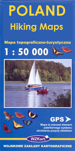
Poland: WZKart Hiking Maps
Beskid Wyspowy
Poznan and Environs
Kielce and Environs
Pieniny and Spisz
Szczecin and Environs
Lรณdz and Environs
Klodzko and Environs
Tuchola Forest
Klodzko Region 2-Map Set
Kazimierz Dolny and Environs
Beskid Niski: Western Part
Drawienski (Drawno) National Park
Oder Estuary (Zalew Szczecinski)
Puszcza Kampinoska – Kampinoski National Park
Olsztyn Lake District: Western Part
Elk Lake District
Ilawa Lake District
Mragowo Lake District
Augustรณw Lake District
Drawsko Pomorskie Lake District
Kaszuby Lake District: Northern Part
Kaszuby Lake District: Southern Part
Lake Sulejowskie and Environs
Beskid Niski: Eastern Part
Poland: WZKart Hiking Maps
Beskid Wyspowy
Poznan and Environs
Kielce and Environs
Pieniny and Spisz
Szczecin and Environs
Lรณdz and Environs
Klodzko and Environs
Tuchola Forest
Klodzko Region 2-Map Set
Kazimierz Dolny and Environs
Beskid Niski: Western Part
Drawienski (Drawno) National Park
Oder Estuary (Zalew Szczecinski)
Puszcza Kampinoska – Kampinoski National Park
 Bialowieza / Puszcza Bialowieska National Park
Mazury Great Lakes: Southern Part
Mazury Great Lakes: Northern Part
Bialowieza / Puszcza Bialowieska National Park
Mazury Great Lakes: Southern Part
Mazury Great Lakes: Northern Part
 Lake Maggiore – Lake Orta – Lake Varese K+F Outdoor Map 8
 Franconia Lake District UK50-22
 Moletai Lake District
Mazury Lake District – Northern Part ExpressMap Tourist Map
Mazury Lake District – Southern Part ExpressMap Tourist Map
Moletai Lake District
Mazury Lake District – Northern Part ExpressMap Tourist Map
Mazury Lake District – Southern Part ExpressMap Tourist Map
 Franconian Lake District Kompass 174
Gdansk, Sopot, Gdynia and Environs – Hel Peninsula
Lake Garda – Lake Idro – Monte Baldo – Verona K+F Outdoor Map 7
Franconian Lake District Kompass 174
Gdansk, Sopot, Gdynia and Environs – Hel Peninsula
Lake Garda – Lake Idro – Monte Baldo – Verona K+F Outdoor Map 7
 Mecklenburg Lake District 3-Map Set Kompass 865
 Lake Constance West
Lake Constance East
Lake Constance West
Lake Constance East
 Lake District A-Z Visitor`s Atlas & Guide