Disclosure : This site contains affiliate links to products. We may receive a commission for purchases made through these links.
Old City of Jerusalem Map

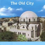
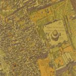
Jerusalem street plan from Carta combining a very detailed plan of the Old City with, on the reverse, a plan of the city’s central districts, both indexed and highlighting various places of interest.On one side a very clear street plan at approx. 1:2,700 shows the Old City. Numerous places of worship, institutions and sites are named, and symbols indicate locations of various facilities including drinking water fountains, public toilets, car parks, taxi stations, hotels and youth hostels, etc, as well as viewpoints from the Old City walls and Stations of the Cross along the Via Dolorosa. Accompanying index lists sites and institutions. On the reverse is a street plan of Jerusalem’s central districts extending from the western side of the Old City and Mount Zion to the institutions around the Knesset, the Israel Museum and the Hebrew University. The plan shows the stops of the light railway line, one way streets and car parks, locations of selected hotels, etc. The index is accompanied by a list of sites of interest with contact details.All place names are in the Latin alphabet only.


