Disclosure : This site contains affiliate links to products. We may receive a commission for purchases made through these links.
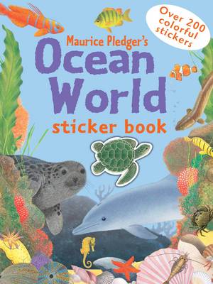
Ocean World Sticker Book

Related Products:
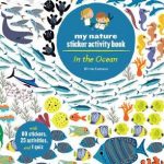 In the Ocean: My Nature Sticker Activity Book
 Ocean Animals Sticker Activity Book: Over 1,000 Stickers! (NG Sticker Activity Books)
 Animal World Sticker Book
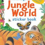 Jungle World Sticker Book
 Wildlife World Sticker Book
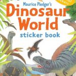 Dinosaur World Sticker Book
 World Map Sticker Book: Animals
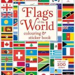 Flags of the World Colouring & Sticker Book
 World Map Sticker Book: The World
 Butterflies of the World: My Nature Sticker Activity Book
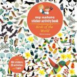 Birds of the World: My Nature Sticker Activity Book
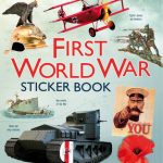 First World War Sticker Book
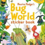 Bug World Sticker Book
 World Flag Sticker Book
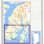
 NP136 (1) Ocean Passages for the World – Atlantic Ocean Volume 1 – Edition 2021
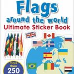 Flags Around the World Ultimate Sticker Book
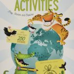
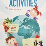
 How the World Works: Sticker Activity Book
 World Atlas Sticker Book: 2019
 Big City Sticker Book: Sticker and Activity Book
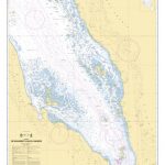
 NP136(1) Ocean Passages for the World – The Atlantic Ocean – Digital
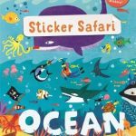 Sticker Safari: Ocean
 Big Book of Beasts Sticker Book
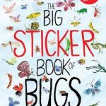 Big Book of Bugs Sticker Book
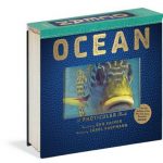 Ocean: A Photicular Book
 Hidden World: Ocean
 Super Space Sticker Activity Book: Over 1,000 Stickers! (NG Sticker Activity Books)
 Ponies and Horses Sticker Activity Book: Over 1,000 Stickers! (NG Sticker Activity Books)
 Knowledge Encyclopedia Ocean!: Our Watery World As You`ve Never Seen It Before
 Lost Ocean: An Inky Adventure and Colouring Book
 The Marine World: A Natural History of Ocean Life
 Sticker World – Zoo
 On Safari Sticker Activity Book: Over 1,000 Stickers! (NG Sticker Activity Books)
 Sharks Sticker Activity Book: Over 1,000 Stickers! (NG Sticker Activity Books)
 Dinos Sticker Activity Book: Over 1,000 Stickers! (NG Sticker Activity Books)
 Aztecs Sticker Book
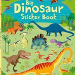 Big Dinosaur Sticker Book
 First Sticker Book Paris
 My First London Sticker Book
 Egyptians Sticker Book
 London Sticker Book