Disclosure : This site contains affiliate links to products. We may receive a commission for purchases made through these links.
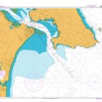
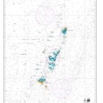
NZ533 Firth of Thames
Nautical charts for New Zealand, created by Land Information New Zealand (LINZ), are printed on demand at Stanfords after your order is placed and processed. They provide a detailed coverage of the coastline with a varied range of scales – from overall route planning to detailed harbour charts.Notices to Mariners are available via this link.Source: Land Information New Zealand (LINZ) and licensed by LINZ for re-use under the Creative Commons Attribution 4.0 International licence.

Related Products:
 NZ4421 Raglan Harbour (Whaingaroa)
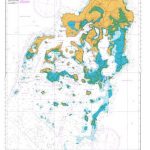
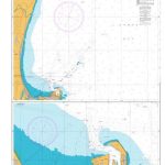
 NZ4423 Kawhia Harbour
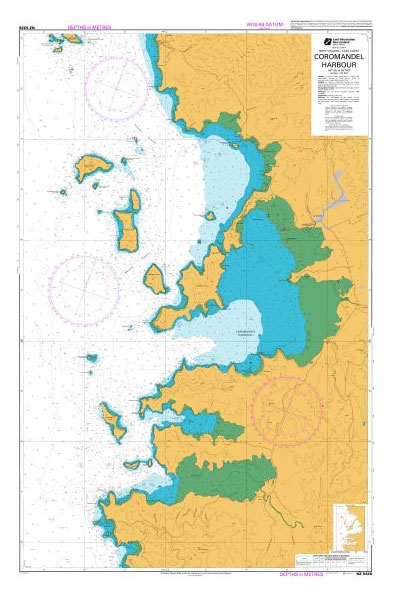
 NZ5328 Coromandel Harbour
 NZ5316 Whitianga Harbour
 NZ4633 Wellington Harbour
 New Zealand Charts for North Island
New Zealand Charts for Pacific Islands
New Zealand Charts for North Island
New Zealand Charts for Pacific Islands
 NZ43 Manukau Harbour to Cape Egmont
 NZ14601 Tasman Sea, New Zealand to S.E. Australia
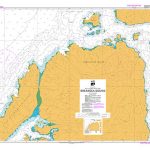
 NZ14065 Ross Sea to New Zealand
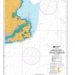
 NZ8275 Approaches to Nuku`alofa Harbour
 NZ4632 Approaches to Porirua Harbour
 NZ661 Approaches to Otago Harbour
Overview charts of New Zealand and Adjacent Seas
NZ661 Approaches to Otago Harbour
Overview charts of New Zealand and Adjacent Seas
 NZ14605 New Zealand to Fiji and Samoa Islands
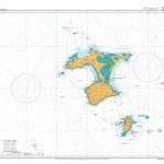
 NZ822 Vava`u Group
 NZ14900 Ross Sea
 NZ7142 Greymouth Harbour and Approaches
NZ23 North Island
NZ25 South Island
NZ7142 Greymouth Harbour and Approaches
NZ23 North Island
NZ25 South Island
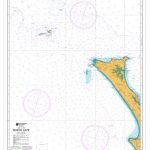 NZ41 North Cape
 NZ46 Cook Strait
 NZ532 Approaches to Auckland
 NZ561 Approaches to Napier
NZ5121 Cavalli Passage
NZ561 Approaches to Napier
NZ5121 Cavalli Passage
 NZ5214 Marsden Point
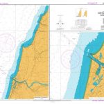
 NZ5413 Approaches to Tauranga
 NZ5612 Napier Roads
 NZ463 Approaches to Wellington
 NZ615 Marlborough Sounds
 NZ268 Chatham Islands
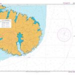
 NZ14912 Balleny Islands
NZ14907 Possession Islands
NZ14912 Balleny Islands
NZ14907 Possession Islands
 NZ7655 Breaksea Sound
 NZ632 Banks Peninsula
 NZ222 Kermadec Islands
 NZ865 Approaches to Apia
 NZ8259 Nomuka Group
 NZ82 Tonga
NZ885 Tokelau
NZ82 Tonga
NZ885 Tokelau