Disclosure : This site contains affiliate links to products. We may receive a commission for purchases made through these links.
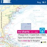
NV Atlas Serie 5.2 Schwedische Westkuste Sud
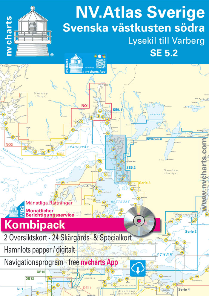
OverviewS1 Halden to Lysekil 1: 240.000 S2 Lysekil to Varberg 1: 240.000 Pilot Chart Anholt-Fรฆrder-Jomfruland 1: 750.000 Coastal chartsS3 North of Orust 1: 40.000 S4 East of Orust 1: 40.000 S5 North of Tjรถrn 1: 40.000 S6 East of Tjรถrn 1: 40.000 S7 Fiskebรคckskil to Kรคringรถn 1: 40.000 S8 Kรคringรถn to Marstrand 1: 40.000 S9 Marstrand to Sรคlรถ 1: 40.000 S10 Sรคlรถ to ร–ckerรถ 1: 40.000 S11 ร–ckerรถ to Vinga 1: 40.000 S12 Vinga to Tistlarna 1: 40.000 S13 Tistlarna to Malรถ 1: 40.000 S14 Malรถ to Ringhals 1: 40.000 S15 Ringhals to Varberg 1: 40.000 S16A Nordre รlv 1: 40.000 S16C Kungsbackafjord 1: 40.000 DetailsS3A Rรฅbergsund 1: 10.000 S16B Nordre รlv Flood barrage 1: 3.000 S17 Lysekil to Gullholmen 1: 20.000 S18 Gullholmen to Kรคringรถ Fjord 1: 20.000 S19 Kรคringรถ Fjord to Kyrkesund 1: 20.000 S20 Kyrkesund to Klรคdesholmen 1: 20.000 S21 Marstrand 1: 20.000 S22 ร–ckerรถ to Vinga 1: 20.000 S23 Lรฅngedrag to Vrรฅngรถ 1: 20.000 The harbour and anchorage pilot book includes detailed harbour charts with additional information for approach and harbour facilities.


