Disclosure : This site contains affiliate links to products. We may receive a commission for purchases made through these links.
Norway K+F Road Map
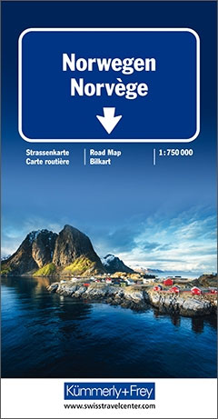
Large, indexed map of Norway, presenting the whole country in two panels side by side. Clear, well-presented cartography has fine relief shading and spot heights to indicate the topography, with national parks prominently marked. Detailed presentation of the road network includes scenic routes, roads closed to traffic, seasonal closures of mountain passes, etc. Towns and places of particular interest are highlighted. The map has a latitude/longitude grid at intervals of 1ยบ. Map legend includes English.The map also has an enlargement for the environs of Oslo and an inset showing Svalbard. An index of place names is attached to the map cover. North of Lillehammer coverage extends to include the neighbouring areas of Sweden and northern Finland.

Related Products:
 Southern Norway North – Oslo – Bergen – Rondvassbu – Galdhopiggen Cappelen Sectional Road Map
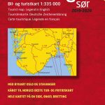 Southern Norway South – Oslo – Stavanger – Bergen – Hardangervidda Cappelen Sectional Road Map
 Norway Cappelens Road Atlas A4 SPIRAL-BOUND
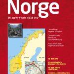
 Norway Nordeca Road Map
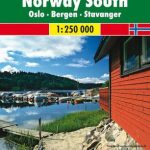 Norway South – Oslo – Bergen – Stavanger F&B
 Norway: Freytag & Berndt Regional Road Maps
 Colombia ITMB
 Europe Eastern Jana Seta Road Map
 Catalonia ICGC Road Map
 Mexico: Ed. Independecia State Road Maps and Street Plans
 Norway F&B Supertouring Road Atlas SPIRAL-BOUND
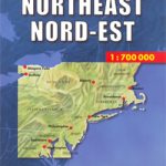 USA North-East
 Oslo / Bergen & South of Norway ITMB
Norway: Cappelen Regional Road Maps
Oslo / Bergen & South of Norway ITMB
Norway: Cappelen Regional Road Maps
 Tunisia Nelles Map
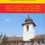 Romania Cartographia Road Map
 Estonia Jana Seta Road Map
 India Gizi Road Map
 Dhofar Road Map – Salalah and Southern Oman
 Ecuador F&B
 Bulgaria Cartographia Road Map
 Denmark K+F Road Map
 Iasi Cartographia Street Plan
 Belarus Jana Seta Road Map
 Norway Road Atlas SPIRAL-BOUND
 Tunisia IGN Map 85109
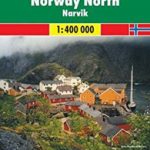 Norway North – Narvik F&B
 Myanmar / Burma ITMB
Finland Karttakeskus Road Atlas
Myanmar / Burma ITMB
Finland Karttakeskus Road Atlas
 Austria F&B Road Atlas
 Norway F&B
 Lithuania Jana Seta Compact Road Atlas
 Norway South – Oslo – Stavanger – Bergen K+F Regional Road Map
 Norway North Cape – Hammerfest F&B
 Oslo Vestmark Nordeca 2795
 Oslo รstmark Nordeca 2794
 Palma de Mallorca City Map / Mallorca Road Map
 Oslo Nordmark South Nordeca 2826