Disclosure : This site contains affiliate links to products. We may receive a commission for purchases made through these links.
Norway: K+F Regional Road Maps


Related Products:
 Norway: Cappelen Regional Road Maps
 Norway: Norstedts Regional Road Maps
 Norway: Freytag & Berndt Regional Road Maps
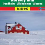
 Norway: Nordeca 500K Regional Road Maps
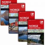
 Norway: Nordeca Regional Touring Maps
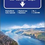 Norway South – Oslo – Stavanger – Bergen K+F Regional Road Map
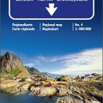 Central Norway – Lofoten – Narvik – Bronnoysund K+F Regional Road Map
 USA: Borch Regional Road Maps
 USA: Hallwag Regional Road Maps
USA: Michelin Regional Road Maps
USA: Hallwag Regional Road Maps
USA: Michelin Regional Road Maps
 Thailand: ThinkNet Regional Road Maps
 Great Britain: AA Regional Road Maps
 Portugal: Turinta Regional Road Maps
 Sweden: Norstedts Regional Road Maps
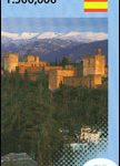
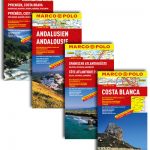
 Spain: Michelin Regional Road Maps
 Germany: Michelin Regional Road Maps
 India: Nelles Regional Road Maps
 Argentina: Firestone Regional Road Maps
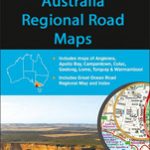
 Australia: Hema Regional Road Maps
 Australia: UBD Gregory`s Regional Road Maps
 Mexico: ITMB Regional Road Maps
 Portugal: Michelin Regional Road Maps
 Poland: Michelin Regional Road Maps
 India: Reise Know-How Regional Road Maps
 Canada: Reise Know-How Regional Road Maps
 India: ITMB Regional Road Maps
 Great Britain: A-Z Regional Road Maps and Atlases
 France: Michelin 200K Regional Road Maps
 Sweden: Freytag & Berndt Regional Road Maps
 Italy: Michelin 200K Regional Road Maps
 Benelux: Michelin Regional Road Maps and Atlases
 Spain: CNIG 500K Regional Road Maps
 Spain: Mairdumont 300K Regional Road Maps
 Estonia: Regio 275K Regional Road Maps
 Croatia: Freytag & Berndt 200K Regional Road Maps
 Germany: Freytag & Berndt 200K Regional Road Maps
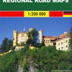
 Germany: Marco Polo 200K Regional Road Maps
 Italy: Kรผmmerly + Frey 200K Regional Road Maps