Disclosure : This site contains affiliate links to products. We may receive a commission for purchases made through these links.
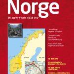
Norway: Cappelen Regional Road Maps
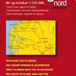
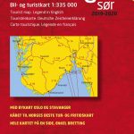
Norway on regional touring maps from Cappelen presenting at 1:335,000 the southern half of the country, with northern Norway covered at 1:400,000/410,000; plus towns maps and/or enlargements for popular tourist areas including Jotunheimen, the environs of Bergen, etc.Topography is presented by relief shading with numerous spot heights and names of various mountain ranges, peaks, valley, etc, plus colouring for woodlands and national parks. Road network, graded into seven types, includes selected cart tracks and indicates tolls, seasonal closures, roads closed to the public, steep gradients, etc. Driving distances are marked on main and on selected secondary roads. Also shown are selected footpaths, with some waymarked DNT (Norwegian Trekking Association) routes annotated with approximate walking times. Railways lines are shown with stations and ferry connections are marked. The maps are particularly good at highlighting accommodation facilities, with an extensive range of symbols showing hotels, motels, campsites, youth hostels, etc, indicating different standards and categories. Other symbols show places of interest, viewpoints, bird colonies, etc. Latitude and longitude lines are drawn at 15โ€ and 30โ€ respectively. There is no index of place names. Map legend includes English.The maps now also provide street plans main cities and/or detailed enlargements of popular hiking areas – for more details please see the individual descriptions.

Related Products:
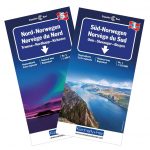
 Southern Norway North – Oslo – Bergen – Rondvassbu – Galdhopiggen Cappelen Sectional Road Map
 Southern Norway South – Oslo – Stavanger – Bergen – Hardangervidda Cappelen Sectional Road Map
 Norway: Norstedts Regional Road Maps
 Norway: Freytag & Berndt Regional Road Maps
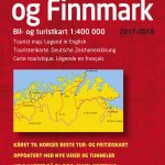 Troms and Finnmark – Tromso – Hammerfest – Kirkenes Cappelen Sectional Road Map
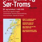 Nordland and South Troms – Bronnoysund – Bodo – Narvik Cappelen Sectional Road Map
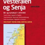 Lofoten – Vesteralen Islands – Senja Cappelen Sectional Road Map
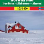
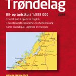 More and Troodelag – Alesund – Trondheim – Namsos Cappelen Sectional Road Map
 Great Britain: AA Regional Road Maps
 Spain: Mairdumont 300K Regional Road Maps
 Norway Cappelen Motorcycle Map-Set
 Norway: Nordeca 500K Regional Road Maps
 Italy: Kรผmmerly + Frey 200K Regional Road Maps
 Sweden: Norstedts Regional Road Maps
 Estonia: Regio 275K Regional Road Maps
 Poland: Michelin Regional Road Maps
 USA: Borch Regional Road Maps
 Australia: UBD Gregory`s Regional Road Maps
 Norway: K+F Regional Road Maps
 Germany: Michelin Regional Road Maps
 Norway Cappelens Road Atlas A4 SPIRAL-BOUND
 Germany: Marco Polo 200K Regional Road Maps
 Italy: MairDumont Marco Polo 200K Regional Road Maps
 France: Michelin 200K Regional Road Maps
 Canada: Reise Know-How Regional Road Maps
 Argentina: Firestone Regional Road Maps
 Thailand: ThinkNet Regional Road Maps
 Lithuania: Alma Littera 100K Regional Maps
 Spain: CNIG 500K Regional Road Maps
 Italy: Michelin 200K Regional Road Maps
 Spain: Michelin Regional Road Maps
 Benelux: Michelin Regional Road Maps and Atlases
 Portugal: Michelin Regional Road Maps
 Great Britain: Michelin 400K Road Maps
 Great Britain: A-Z Regional Road Maps and Atlases
 Norway: Turkart 25K Topographic Hiking Maps
 USA: Hallwag Regional Road Maps
 China: GiziMap Regional Maps
 India: Nelles Regional Road Maps