Disclosure : This site contains affiliate links to products. We may receive a commission for purchases made through these links.
Northern Territory Hema
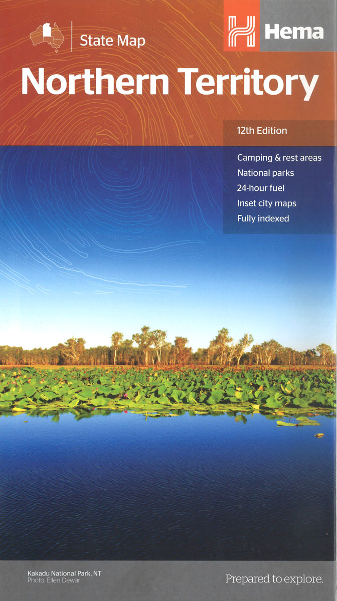
Northern Territory at 1:1,800,000 in a series of road maps from Hema covering Australia’s states. On the reverse several more maps provide more detailed coverage of the state’s most visited areas: – for the northern part of the state: road maps of Darwin with its suburbs and of the wider Darwin region including the Kakadu National Park, plus a street plan of Darwin’s central CBD area annotated with points of interest and accommodation.- for Alice Springs and Uluru (Ayers Rock): a street plan of central Alice Springs and a small road map of the surrounding region, a plan of Yulara with accommodation and facilities, a road map showing access from Yulara to Uluru (Ayers Rock) and Kata Tjuta (The Olgas), plus small maps of Uluru and Kata Tjuta showing tracks, viewing areas, access to drinking water and toilets, etc.Also provided are a table of facilities in the state’s national parks, plus lists of useful contact addresses and numbers.Titles in Hema’s series of Australia’s state maps present the whole state on one side with an index and a distance table. Road network from main highways, shown with their names, to minor roads and 4WD tracks, indicates unsealed routes and rough tracks. Driving distances are marked on many smaller local roads. Railway lines and local airports or airstrips are included. Symbols highlight roadside rest areas, 24h fuels supplies, as well as campsites and caravan parks, places of interest, visitor information centres, etc. Colouring indicates national parks and other protected areas including marine parks, Aboriginal lands and restricted entry zones. The maps have a latitude/longitude grid at intervals varying from 30’ to 2ยบ.To the other titles in this series please click on the series link.

Related Products:
 Red Centre – Alice Springs to Uluru NT Hema
 South Australia Hema
 Central Australia Hema 4WD Explorer Map
 Victoria Hema
 Alice Springs to Uluru (Ayers Rock)
 Australia: Hema State Road Maps
 Australia Hema Motorcycle Atlas Set – 200 Top Rides SPIRAL-BOUND
 Top End National Parks: Litchfield – Katharine – Kakadu Hema
 Western Australia Hema
 Canberra and Region Hema
 Queensland Hema
 Gold Coast and Region Hema
 Lonely Planet South Australia & Northern Territory
 Australia Hema Road & 4WD Atlas PAPERBACK
 Perth and Region Hema
 Australia – State Capitals Street & Suburbs Hema
 Australia Hema Road & 4WD Touring Atlas A4 SPIRAL-BOUND
 Australia Hema Handy Atlas SPIRAL-BOUND
 New South Wales Hema
 Pilbara and Coral Coast Hema Waterproof Map
Sydney and Region Hema
Pilbara and Coral Coast Hema Waterproof Map
Sydney and Region Hema
 Brisbane Hema
 Arkansas Easy-to-Read Rand McNally
 Cairns and Region Hema
 Savannah Way – Cairns to Broome Hema Touring Map
 Australia Hema Road & 4WD Atlas SPIRAL-BOUND
 Adelaide and Region Hema
 Australia: Hema City to City Road Maps
 Western Australia Hema Road & 4WD Track Atlas A4 SPIRAL-BOUND
 Great Desert Tracks – Simpson Desert Hema Map
 Melbourne and Region Hema
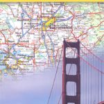 California Northern
 Tasmania Hema
 Australia Hema Road & 4WD Easy Read Atlas SPIRAL-BOUND
 Sydney to Brisbane Hema
 Outback New South Wales – from Broken Hill to Tamworth Hema Explorer Map
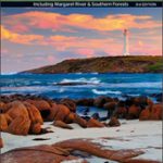 South West Corner – Margaret River & Southern Forest Hema
 Queensland Hema Handy Map
 Australia: Hema Regional Road Maps