Disclosure : This site contains affiliate links to products. We may receive a commission for purchases made through these links.
Northern Antarctic Peninsula UKAHT Wall Map
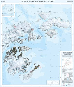
The northern part of the Antarctic Peninsula presented at 1:250,000 by the UK Antarctic Heritage Trust on a double-sided, visually impressive topographic and bathymetric map based on satellite imagery, with plenty of names of local features.Land above sea is shown with LANDSAT satellite imagery as its base. Topography is indicated by contour lines (250m intervals, index contours every 1000m). The map shows names of peaks, glaciers and other topographic features, surrounding islands, sounds and bays, etc. It also marks scientific stations, with nationalities, indicating whether they are permanent or seasonal. Antarctic Special Protected Areas (APSAs) and Historic Sites and Monuments (HSMs) are marked and annotated with their Antarctic Treaty numbers. The sea is shown with blue shading indicating bathymetric depth bands. Ice-covered and ice-free coastlines are differentiated. Latitude and longitude lines are drawn at 15’ and 30’ respectively. Accompanying panel provides information on data sources and references used in preparation of this map. Full BAS ref for this title is: Series BAS (UKAHT) sheet 3A and 3B.


