Disclosure : This site contains affiliate links to products. We may receive a commission for purchases made through these links.
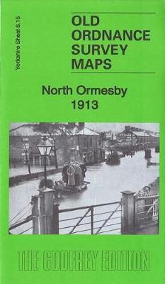
North Ormesby 1913: Yorkshire Sheet 6.15

Related Products:
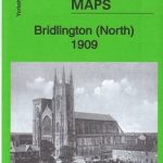 Bridlington (North) 1909: Yorkshire Sheet 146.02
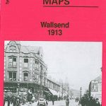 Wallsend 1913: Tyneside Sheet 6
 Bescot 1913: Staffordshire Sheet 63.14b
 Darlaston 1913: Staffordshire Sheet 63.13b
 Wednesbury 1913: Staffordshire Sheet 68.01b
 Harton 1913: Tyneside Sheet 16b
 Wolverhampton SE 1913: Staffordshire Sheet 62.11b
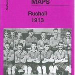 Rushall 1913: Staffordshire Sheet 63.03
 Mouth of the Tyne 1913: Tyneside Sheet 3b
Gravelly Hill 1913: Warwickshire Sheet 8.14C
Mouth of the Tyne 1913: Tyneside Sheet 3b
Gravelly Hill 1913: Warwickshire Sheet 8.14C
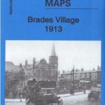 Brades Village 1913: Staffordshire sheet 68.13b
 Greets Green 1913: Staffordshire Sheet 68.09b
 Mesty Croft 1913: Staffordshire Sheet 68.02C
 Birmingham (Saltley) 1913: Warwickshire Sheet 14.02B
 South Shields 1913: Tyneside Sheet 9b
 Rastrick 1905: Yorkshire Sheet 246.03
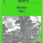 Morley 1891: Yorkshire Sheet 232.04a
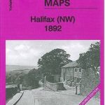 Halifax (NW) 1892: Yorkshire Sheet 230.08a
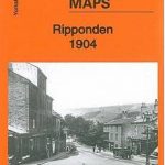 Ripponden 1904: Yorkshire Sheet 245.07
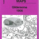 Gildersome 1905: Yorkshire Sheet 217.15
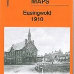 Easingwold 1910: Yorkshire Sheet 121.11
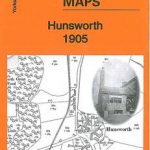 Hunsworth 1905: Yorkshire Sheet 232.01
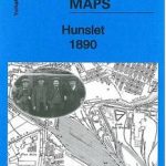 Hunslet 1890: Yorkshire Sheet 218.10
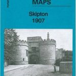 Skipton 1907: Yorkshire Sheet 168.05
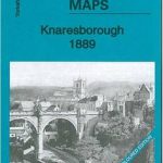 Knaresborough 1889: Yorkshire Sheet 154.12a
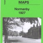 Normanby 1927: Yorkshire Sheet 16.04
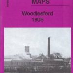 Woodlesford 1905: Yorkshire Sheet 218.16
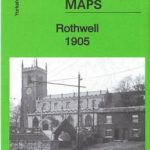 Rothwell 1905: Yorkshire Sheet 233.03
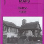 Oulton 1905: Yorkshire Sheet 233.04
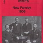 New Farnley 1906: Yorkshire Sheet 217.12
 Wolverhampton (NE) & Heath Town 1913: Staffordshire Sheet 62.07c
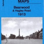 Bearwood & Hagley Road 1913: Staffordshire Sheet 72.07
 Gateshead East & St Peters 1913: Tyneside Sheet 19a
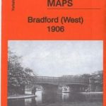 Bradford (West) 1906: Yorkshire Sheet 216.07
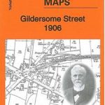 Gildersome Street 1906: Yorkshire Sheet 232.03
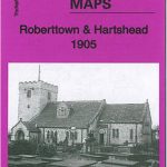 Roberttown & Hartshead 1905: Yorkshire Sheet 232.13
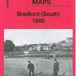 Bradford (South) 1905: Yorkshire Sheet 216.12
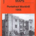 Pontefract Monkhill 1905: Yorkshire Sheet 234.16
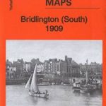 Bridlington (South) 1909: Yorkshire Sheet 146.06
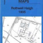 Rothwell Haigh 1905: Yorkshire Sheet 218.15