Disclosure : This site contains affiliate links to products. We may receive a commission for purchases made through these links.
NOAA Charts for Lake Michigan


Related Products:
 NOAA Chart 14926 – SMALL-CRAFT BOOK CHART – Chicago and South Shore of Lake Michigan (book of 30 charts)
 NOAA Chart 14901 – Lake Michigan (Mercator Projection)
 NOAA Chart 14902 – North end of Lake Michigan, including Green Bay
 NOAA Charts for Lake Ontario
NOAA Charts for Lake Erie
NOAA Charts for Lake Huron
NOAA Charts for Lake Superior
NOAA Charts for Alaska Coast (Planning Charts)
NOAA Charts for Lake Ontario
NOAA Charts for Lake Erie
NOAA Charts for Lake Huron
NOAA Charts for Lake Superior
NOAA Charts for Alaska Coast (Planning Charts)
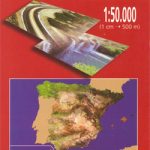
 Chicago & Lake Michigan ITMB
 NOAA Chart 14916 – SMALL-CRAFT BOOK CHART – Lake Winnebago and Lower Fox River (book of 34 charts)
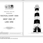 NOAA Chart 14846 – SMALL-CRAFT BOOK CHART West End of Lake Erie (book of 34 charts) V
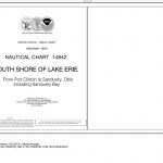 NOAA Chart 14842 – SMALL-CRAFT BOOK CHART South Shore of Lake Erie – Port Clinton to Sandusky, including the Islands (book of 35 charts)
 NOAA Chart 14853 – SMALL-CRAFT BOOK CHART – Detroit River, Lake St. Clair and St. Clair River (book of 47 charts)
 NOAA Chart 11498 – St. Johns River’”Lake Dexter to Lake Harney
 NOAA Chart 14500 – Great Lakes’”Lake Champlain to Lake of the Woods
NOAA Charts for Pacific Coast
NOAA Charts for Puget Sound
NOAA Charts for Mariana Islands
NOAA Charts for Hawai`ian Islands
NOAA Charts for Icy Bay to Dixon Entrance
NOAA Charts for Aleutian Islands
NOAA Chart 14500 – Great Lakes’”Lake Champlain to Lake of the Woods
NOAA Charts for Pacific Coast
NOAA Charts for Puget Sound
NOAA Charts for Mariana Islands
NOAA Charts for Hawai`ian Islands
NOAA Charts for Icy Bay to Dixon Entrance
NOAA Charts for Aleutian Islands
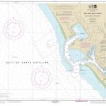
 NOAA Chart 14905 – Waukegan to South Haven – Michigan City – Burns International Harbor – New Buffalo
NOAA Charts for Apalachee Bay, Florida to Georgia
NOAA Charts for Nantucket Sound to New Brunswick
NOAA Charts for San Francisco Bay and Sacramento River
NOAA Charts for North Pacific Ocean
NOAA Charts for Hawai’ian and Pacific Islands
NOAA Charts for Alaska North Coast
NOAA Charts for Alaska Peninsula to Kuskokwim Bay
NOAA Charts for Kodiak Island to Kuskokwim Bay
NOAA Charts for Atlantic and Gulf Coasts
NOAA Chart 14905 – Waukegan to South Haven – Michigan City – Burns International Harbor – New Buffalo
NOAA Charts for Apalachee Bay, Florida to Georgia
NOAA Charts for Nantucket Sound to New Brunswick
NOAA Charts for San Francisco Bay and Sacramento River
NOAA Charts for North Pacific Ocean
NOAA Charts for Hawai’ian and Pacific Islands
NOAA Charts for Alaska North Coast
NOAA Charts for Alaska Peninsula to Kuskokwim Bay
NOAA Charts for Kodiak Island to Kuskokwim Bay
NOAA Charts for Atlantic and Gulf Coasts
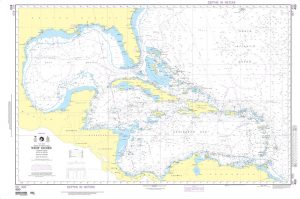
 NOAA Chart 11348 – Intracoastal Waterway’”Forked Island to Ellender, including the Mermentau River, Grand Lake and White Lake
NOAA Charts for Jacksonville, Florida to Cape Hatteras
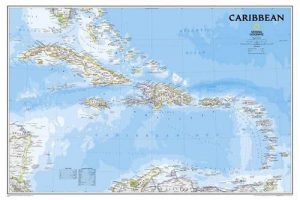
NOAA Charts for Puerto Rico and Virgin Islands
NOAA Charts for Cape Hatteras to Delaware River
NOAA Charts for New York Harbor and Hudson River
NOAA Charts for Adjacent Waters to the Great Lakes
NOAA Charts for Texas from Rio Grande to Sabine River
NOAA Charts for Biscayne Bay, Florida to South Carolina
NOAA Charts for Long Island Sound to Cape Cod Canal
NOAA Chart 11348 – Intracoastal Waterway’”Forked Island to Ellender, including the Mermentau River, Grand Lake and White Lake
NOAA Charts for Jacksonville, Florida to Cape Hatteras
NOAA Charts for Puerto Rico and Virgin Islands
NOAA Charts for Cape Hatteras to Delaware River
NOAA Charts for New York Harbor and Hudson River
NOAA Charts for Adjacent Waters to the Great Lakes
NOAA Charts for Texas from Rio Grande to Sabine River
NOAA Charts for Biscayne Bay, Florida to South Carolina
NOAA Charts for Long Island Sound to Cape Cod Canal