Disclosure : This site contains affiliate links to products. We may receive a commission for purchases made through these links.
NOAA Charts for Hawai’ian and Pacific Islands

Related Products:
 NOAA Charts for Hawai`ian Islands
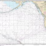 NOAA Chart 530 – North America West Coast’”San Diego to Aleutian Islands and Hawai’ian Islands
 NOAA Chart 530 – San Diego to Aleutian Islands and Hawai’ian Islands
 New Zealand Charts for Pacific Islands
 NOAA Charts for Pacific Coast
 NOAA Charts for North Pacific Ocean
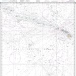 NOAA Chart 540 – Hawai’ian Islands
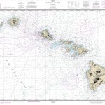 NOAA Chart 19004 – Hawai’ian Islands
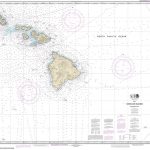 NOAA Chart 19010 – Hawai’ian Islands (southern part)
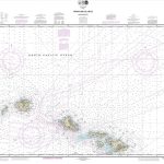 NOAA Chart 19013 – Hawai’ian Islands (northern part)
 NOAA Charts for Mariana Islands
 NOAA Charts for Aleutian Islands
 NOAA Charts for Puerto Rico and Virgin Islands
 NOAA Charts for Alaska Coast (Planning Charts)
 Pacific Coast Mexican SEMAR charts
 SHOM Routeing Charts for the Pacific Ocean
 Planning Charts for Pacific Coast of Canada
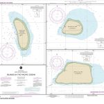 NOAA Chart 83116 – Islands in the Pacific Ocean – Baker Island – Howland Island – Jarvis Island
 NOAA Chart 14842 – SMALL-CRAFT BOOK CHART South Shore of Lake Erie – Port Clinton to Sandusky, including the Islands (book of 35 charts)
 NOAA Chart 19340 – Hawai`i to O`ahu
 NOAA Chart 19320 – Island of Hawai`i
 NOAA Chart 19324 – Island of Hawai`i’”Hilo Bay
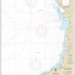 NOAA Chart 19330 – Kawaihae Bay’”Island of Hawai`i
 NOAA Chart 19331 – Kailua Bay’”Island of Hawai`i
 NOAA Chart 19007 – Hawai’i to French Frigate Shoals
 NOAA Chart 19326 – Pa`auhau Landing’”Island of Hawai`i
 NOAA Chart 19329 – Mahukona Harbor and Approaches’”Island of Hawai`i
 Faroe Islands Official Charts
 US Pacific Coast – Charlie`s Charts Cruising Guide
 NOAA Charts for Puget Sound
 NOAA Charts for Icy Bay to Dixon Entrance
 NOAA Charts for Lake Ontario
 NOAA Charts for Lake Erie
 NOAA Charts for Lake Huron
 NOAA Charts for Lake Michigan
 NOAA Charts for Lake Superior
 SHOM Charts for the East Coast of Spain – Balearic Islands
 MapSherpa POD Pacific Islands – Published 1962 634 x 479 mm
 NOAA Charts for Apalachee Bay, Florida to Georgia
 NOAA Charts for San Francisco Bay and Sacramento River


