Disclosure : This site contains affiliate links to products. We may receive a commission for purchases made through these links.
NOAA Charts for Calcasieu Pass, Louisiana to Mobile Bay, Alabama

Related Products:
 NOAA Chart 11341 – Calcasieu Pass to Sabine Pass
 NOAA Chart 11344 – Rollover Bayou to Calcasieu Pass
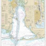 NOAA Chart 11376 – Mobile Bay – Mobile Ship Channel’”Northern End
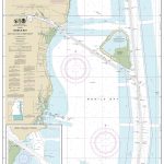 NOAA Chart 11380 – Mobile Bay’”East Fowl River to Deer River Point – Mobile Middle Bay Terminal
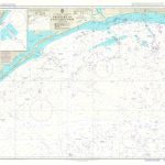 Admiralty Chart 3854 – Freeport to Calcasieu Pass
 Admiralty Chart 3190 – Calcasieu Pass and Approaches to Lake Charles
 NOAA Charts for Alaska Coast (Planning Charts)
 NOAA Chart 11361 – Mississippi River Delta – Southwest Pass – South Pass – Head of Passes
 NOAA Chart 11339 – Calcasieu River and Approaches
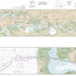 NOAA Chart 11347 – Calcasieu River and Lake
 NOAA Chart 11377 – Mobile Bay Approaches and Lower Half
 NOAA Chart 11345 – Intracoastal Waterway’”New Orleans to Calcasieu River, West Section
 NOAA Chart 11352 – Intracoastal Waterway’”New Orleans to Calcasieu River, East Section
 NOAA Chart 11353 – Intracoastal Waterway’”New Orleans to Calcasieu River, East Section – Baptiste Collette Bayou Extension
 NOAA Charts for Pacific Coast
 NOAA Charts for Puget Sound
 NOAA Charts for Mariana Islands
 NOAA Charts for Hawai`ian Islands
 NOAA Charts for Icy Bay to Dixon Entrance
 NOAA Charts for Aleutian Islands
 NOAA Charts for Lake Ontario
 NOAA Charts for Lake Erie
 NOAA Charts for Lake Huron
 NOAA Charts for Lake Michigan
 NOAA Charts for Lake Superior
 NOAA Chart 11359 – Loop Deepwater Port’”Louisiana Offshore Oil Port
 NOAA Charts for Apalachee Bay, Florida to Georgia
 NOAA Charts for Nantucket Sound to New Brunswick
 NOAA Charts for San Francisco Bay and Sacramento River
 NOAA Charts for North Pacific Ocean
 NOAA Charts for Hawai’ian and Pacific Islands
 NOAA Charts for Alaska North Coast
 NOAA Charts for Alaska Peninsula to Kuskokwim Bay
 NOAA Charts for Kodiak Island to Kuskokwim Bay
 NOAA Charts for Atlantic and Gulf Coasts
 NOAA Charts for Jacksonville, Florida to Cape Hatteras
 NOAA Charts for Puerto Rico and Virgin Islands
 NOAA Charts for New York Harbor and Hudson River
 NOAA Charts for Adjacent Waters to the Great Lakes
 NOAA Charts for Biscayne Bay, Florida to South Carolina


