Disclosure : This site contains affiliate links to products. We may receive a commission for purchases made through these links.
NOAA Chart 17363 – Pybus Bay’”Frederick Sound – Hobart and Windham Bays’”Stephens Passage

NOAA maintains the nautical charts and publications for U.S. coasts and the Great Lakes. Over a thousand charts cover 95,000 miles of shoreline and 3.4 million square nautical miles of waters.Printed on demand using the most up to date NOAA data and latest Notice to Mariners (NTMs) applied at time of print. Meets United States Coast Guard carriage requirements.Printed in house at Stanfords.
Related Products:
 NOAA Chart 17367 – Thomas, Farragut and Portage Bays’”Frederick Sound
 NOAA Chart 17300 – Stephens Passage to Cross Sound including Lynn Canal – Tenakee Inlet
 NOAA Chart 17362 – Gambier Bay’”Stephens Passage
 NOAA Chart 17311 – Holkham Bay And Tracy Arm’”Stephens Passage
 NOAA Chart 17324 – Sitka Sound to Salisbury Sound’”Inside Passage – Neva Strait’”Neva Point to Zeal Point
 NOAA Chart 18448 – Puget Sound (southern part) – Pitt Passage
 NOAA Chart 12365 – South Shore of Long Island Sound’”Oyster and Huntington Bays
 NOAA Chart 18446 – Puget Sound’”Apple Cove Point to Keyport – Agate Passage
 NOAA Chart 12358 – New York’”Long Island, Shelter lsland Sound and Peconic Bays – Mattituck Inlet
 NOAA Chart 16570 – Portage and Wide Bays
 NOAA Chart 16597 – Uganik and Uyak Bays
 NOAA Chart 11357 – Timbalier and Terrebonne Bays
 NOAA Chart 11389 – St. Joseph and St Andrew Bays
 NOAA Chart 13312 – Frenchman and Blue Hill Bays and Approaches
 NOAA Chart 16476 – Sweeper Cove’”Finger and Scabbard Bays
 NOAA Chart 17387 – Shakan and Shipley Bays and Part of El Capitan Passage – El Capitan Pasage’”Dry Pass to Shakan Strait
 NOAA Chart 11424 – Lemon Bay to Passage Key Inlet
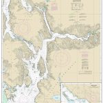 NOAA Chart 17385 – Ernest Sound’”Eastern Passage and Zimovia Strait – Zimovia Strait
 NOAA Chart 11508 – Altamaha Sound
 NOAA Chart 11517 – St. Helena Sound
 NOAA Chart 25647 – Pillsbury Sound
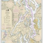 NOAA Chart 18440 – Puget Sound
 NOAA Chart 16594 – Marmot Bay and Kupreanof Strait – Whale Passage – Ouzinkie Harbor
 NOAA Chart 11550 – Ocracoke lnlet and Part of Core Sound
 NOAA Chart 16702 – Latouche Passage to Whale Bay
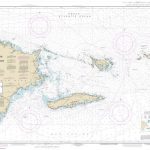 NOAA Chart 25650 – Virgin Passage and Sonda de Vieques
 NOAA Chart 18727 – San Miguel Passage – Cuyler Harbor
 NOAA Chart 18729 – Anacapa Passage – Prisoners Harbor
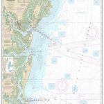 NOAA Chart 11502 – Doboy Sound to Fernandina
 NOAA Chart 13214 – Fishers Island Sound
 NOAA Chart 13237 – Nantucket Sound and Approaches
 NOAA Chart 16700 – Prince William Sound
 NOAA Chart 17322 – West Coast of Chichagof Island’”Khaz Bay – Elbow Passage
 NOAA Chart 16511 – Inanudak and Nikolski Bays – River and Mueller Coves
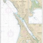 NOAA Chart 18643 – Bodega and Tomales Bays – Bodega Harbor
 NOAA Chart 12205 – Cape Henry to Pamlico Sound Including Albemarle Sound
 NOAA Chart 17370 – Bay of Pillars’”Rowan Bay and Washington Bays – Washington Bay
 NOAA Chart 18449 – Puget Sound’”Seattle to Bremerton
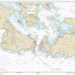 NOAA Chart 14882 – St. Marys River’”De Tour Passage to Munuscong Lake – De Tour Passage
 NOAA Chart 16760 – Cross Sound to Yakutat Bay


